
CLIMBING ARROW RANCH
Legendary Fishing, Hunting and Large Scale Agricultural Production
Gallatin, Meagher, Madison & Broadwater Counties
Michael S. Swan

On site with the Agent

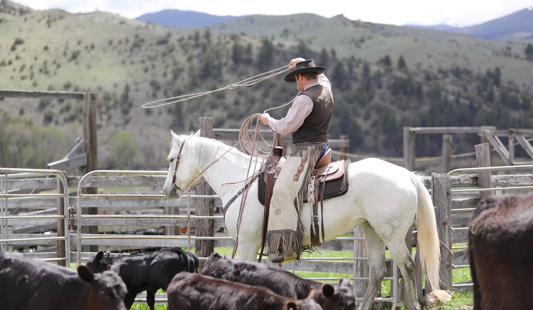


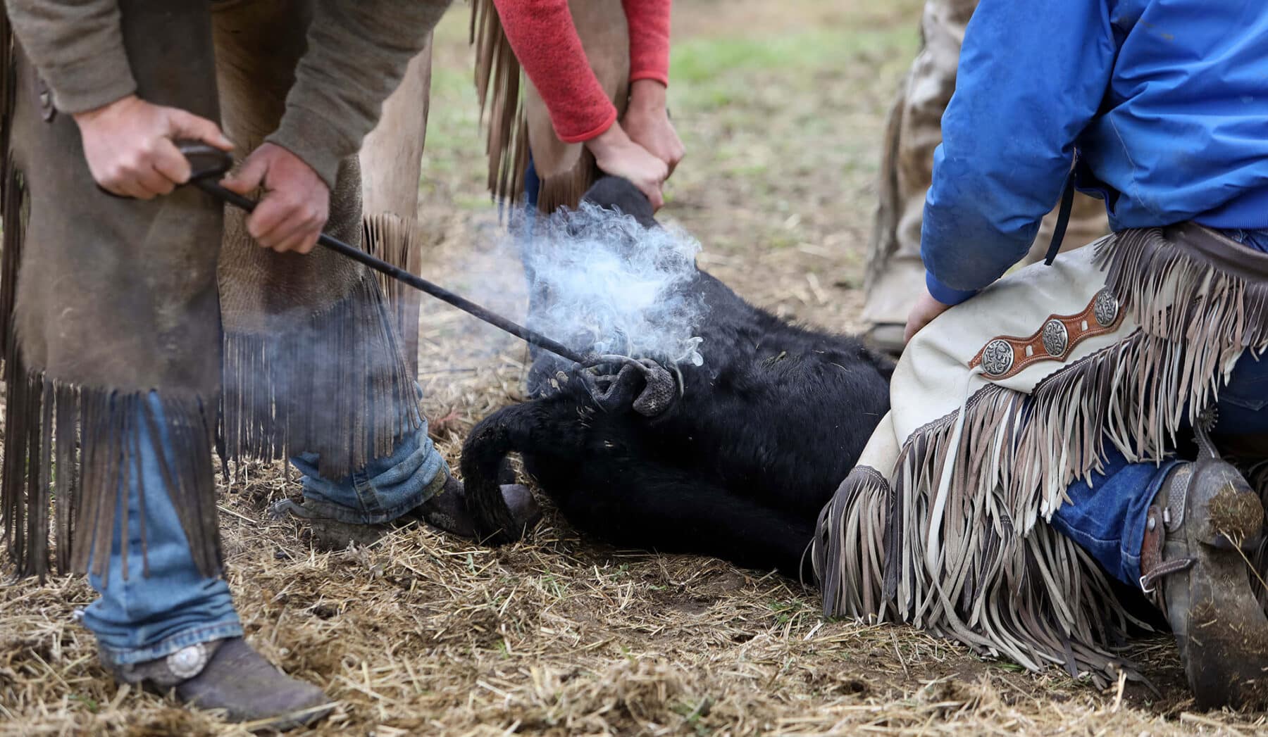

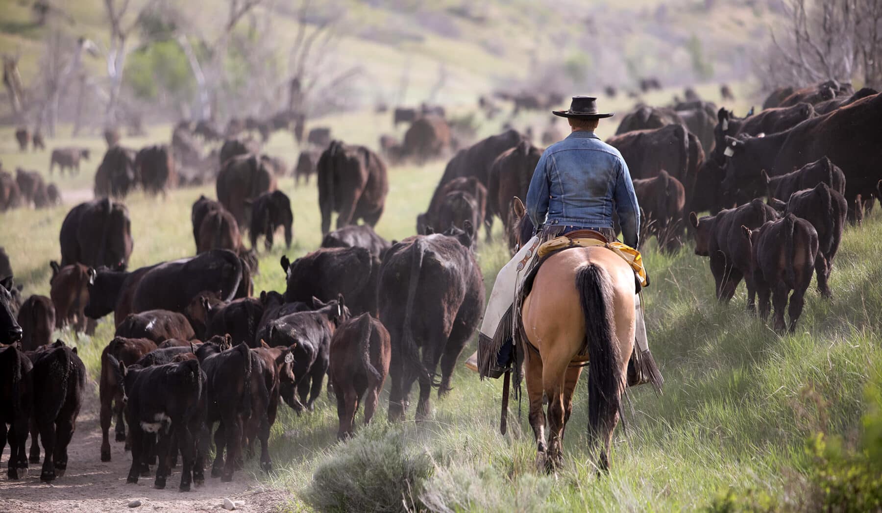
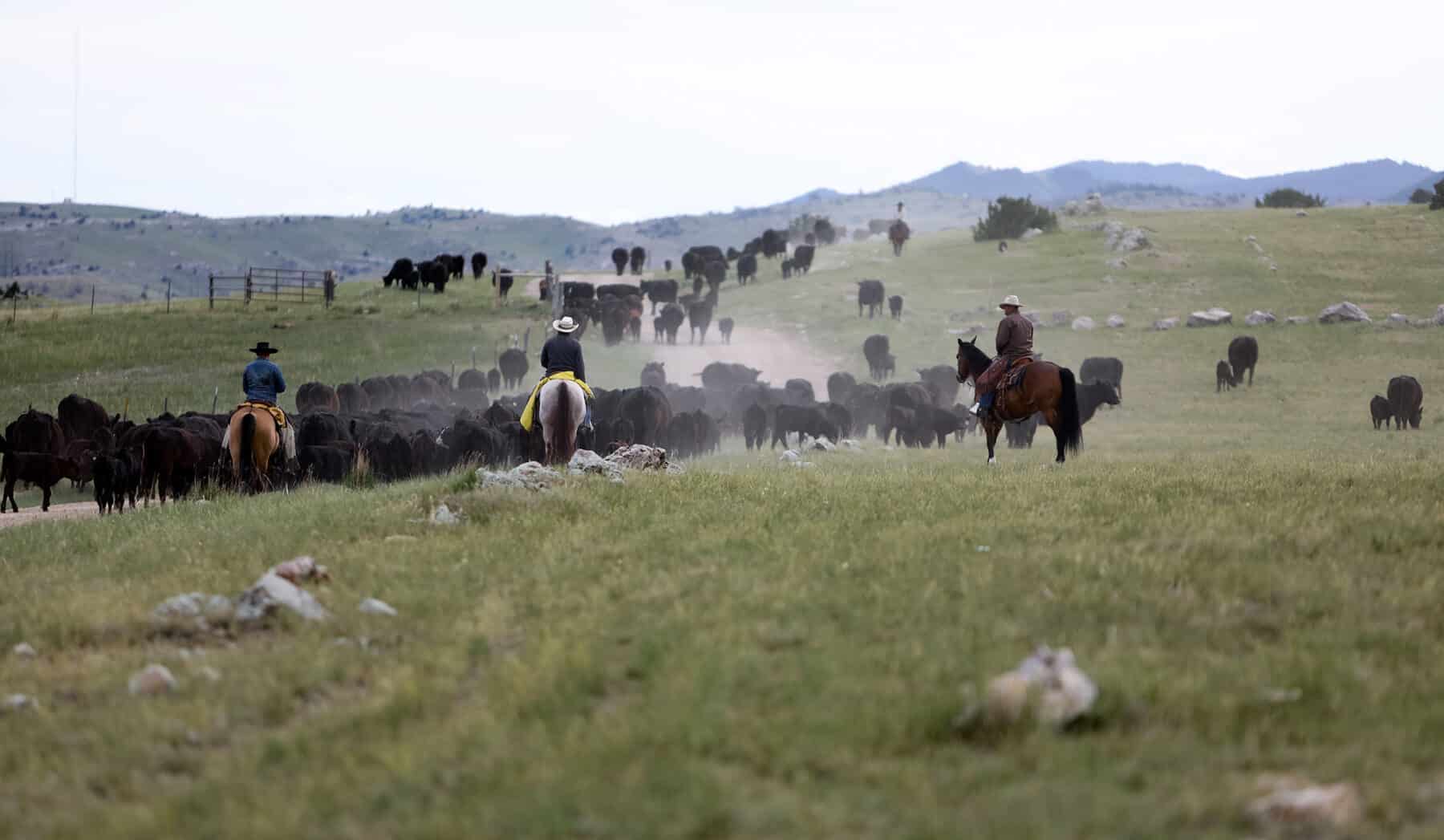

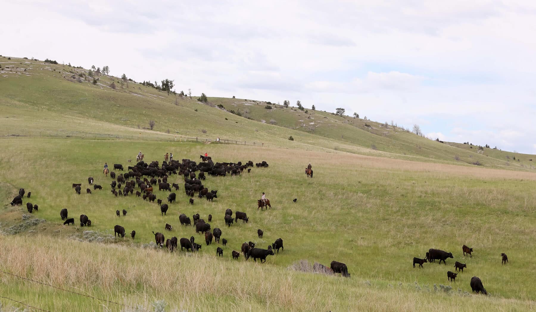

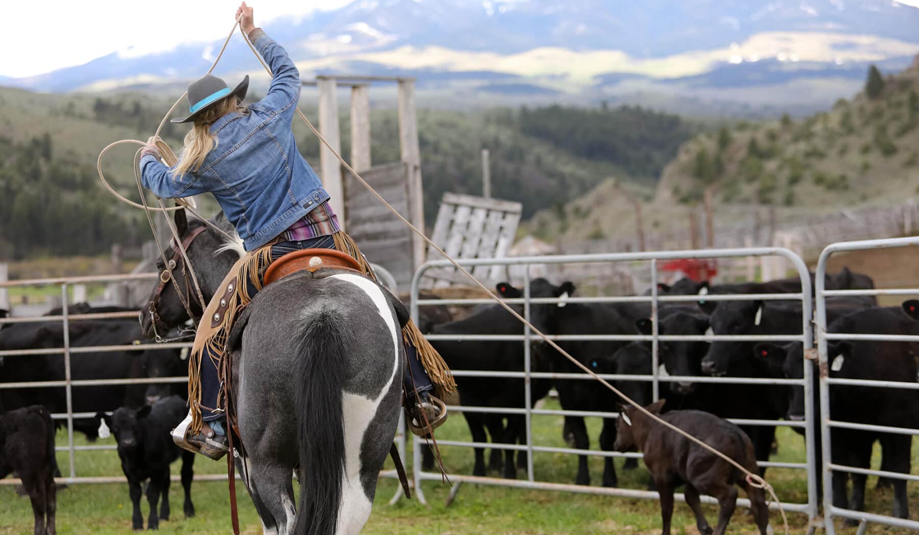

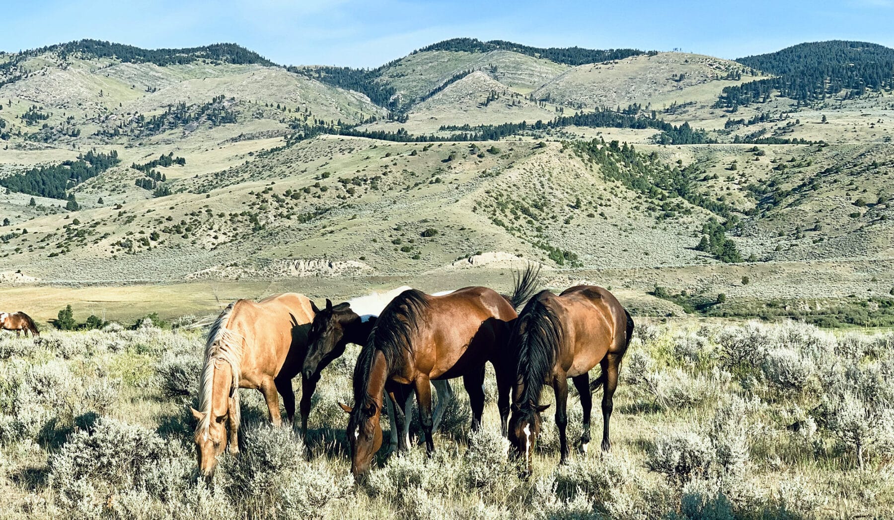

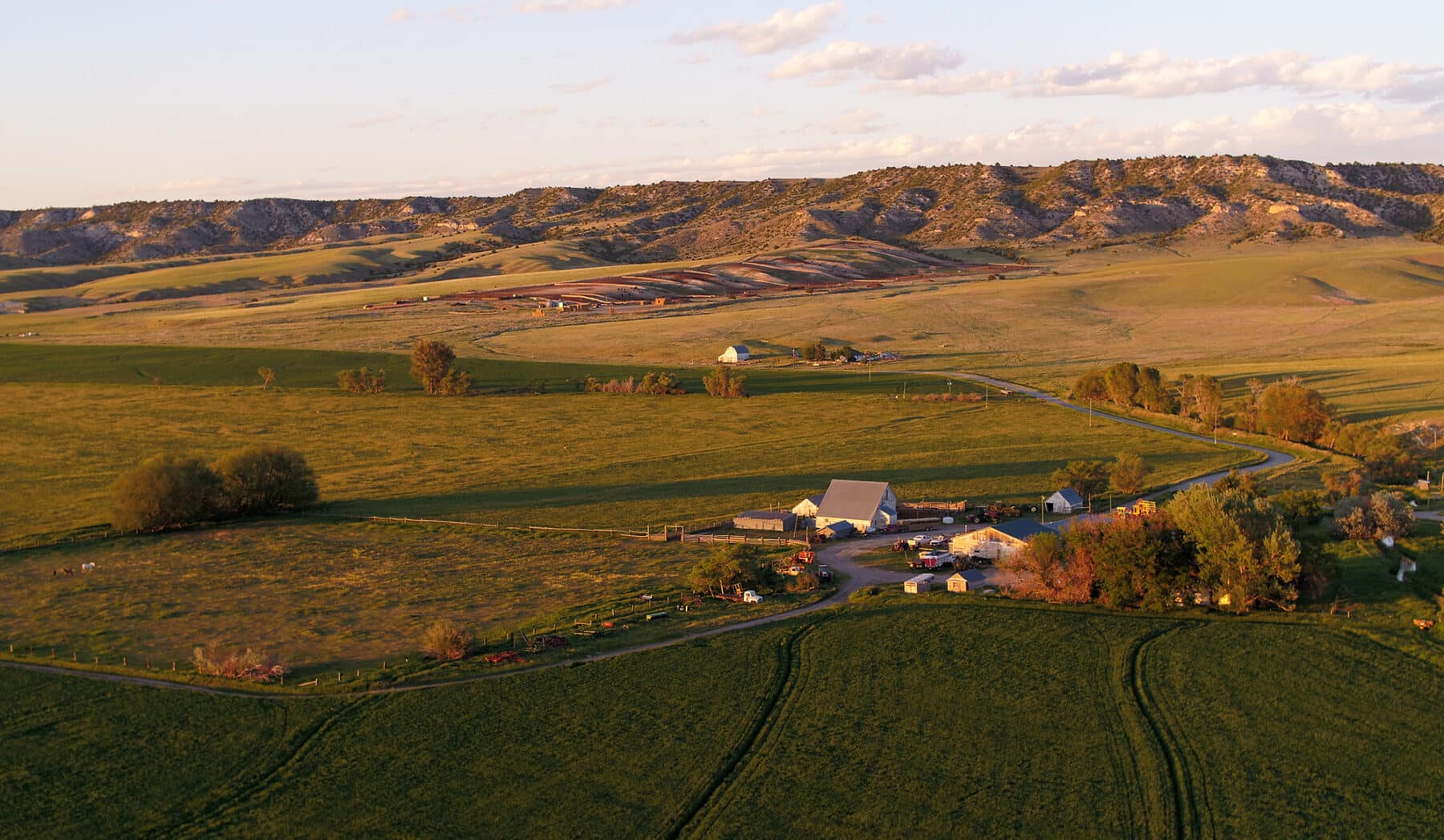


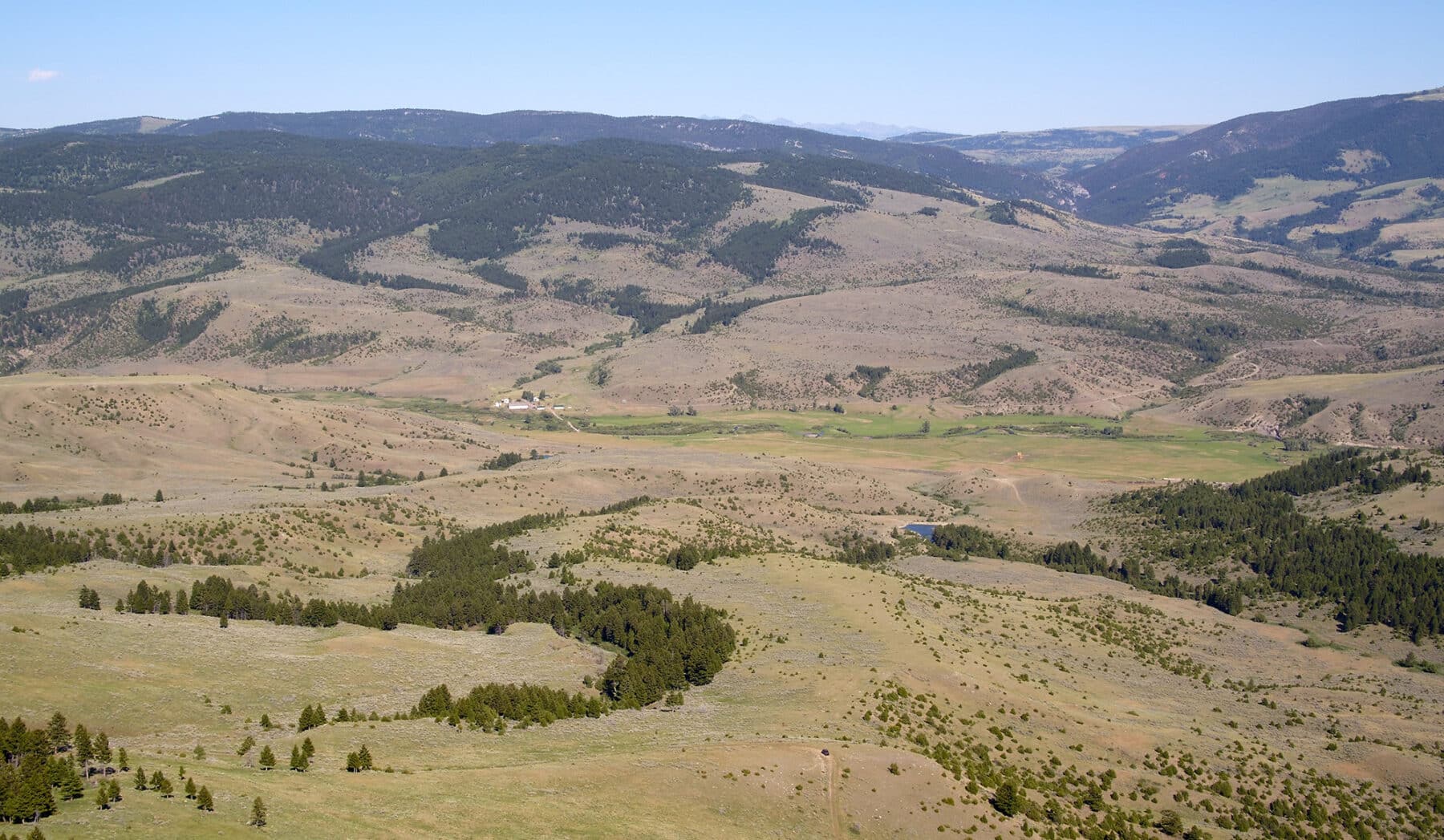


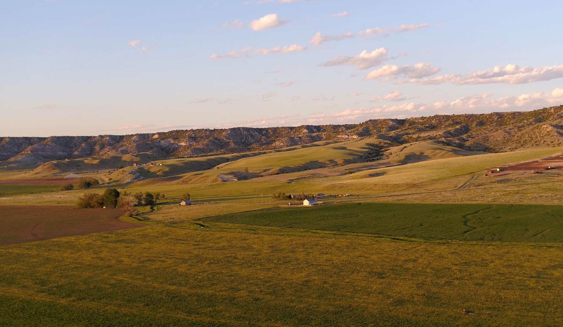

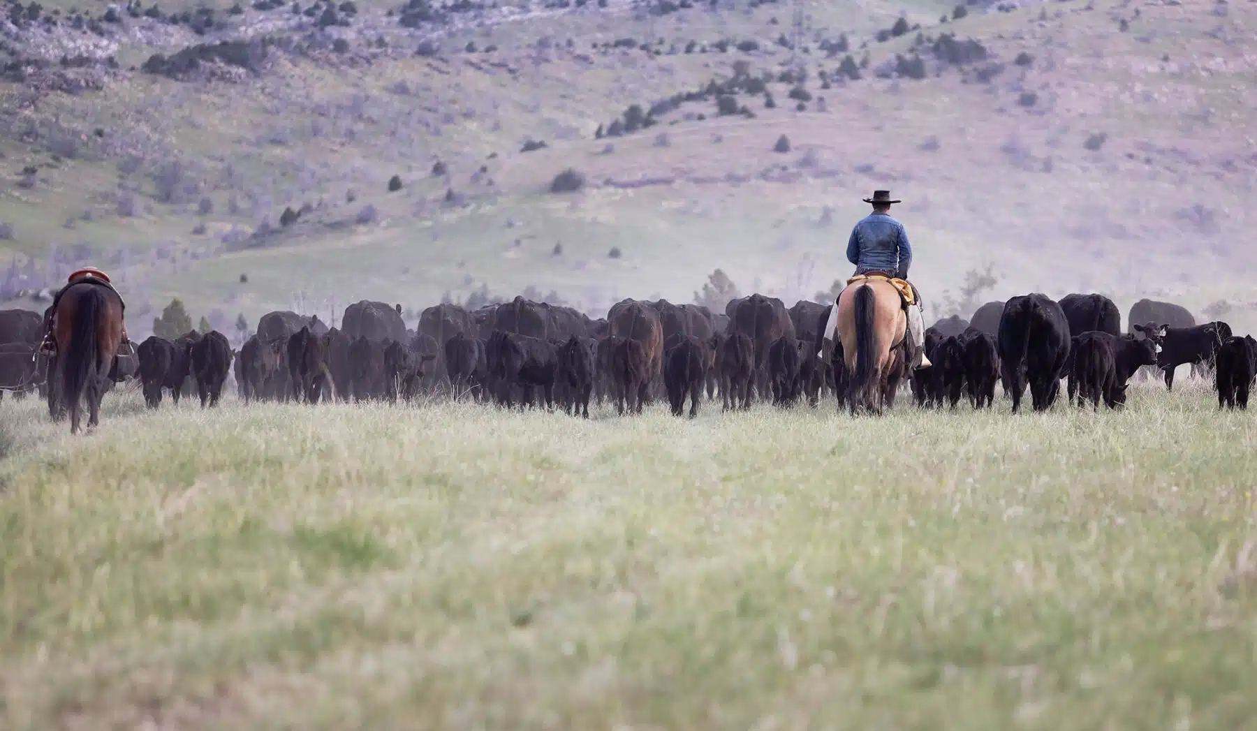
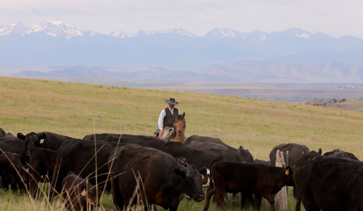
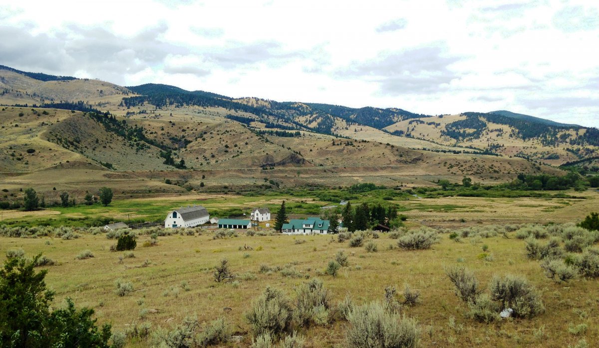
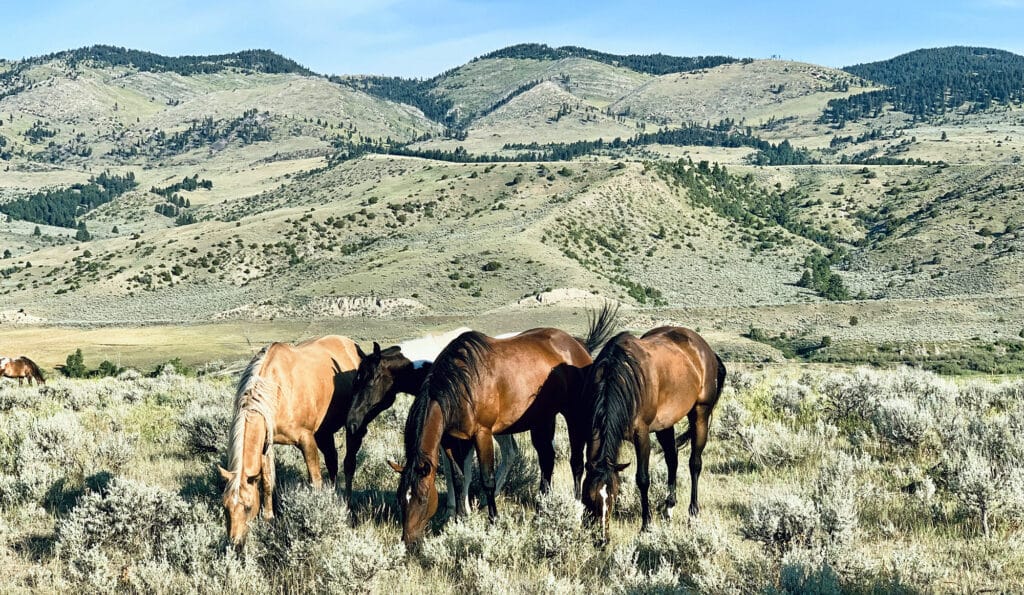
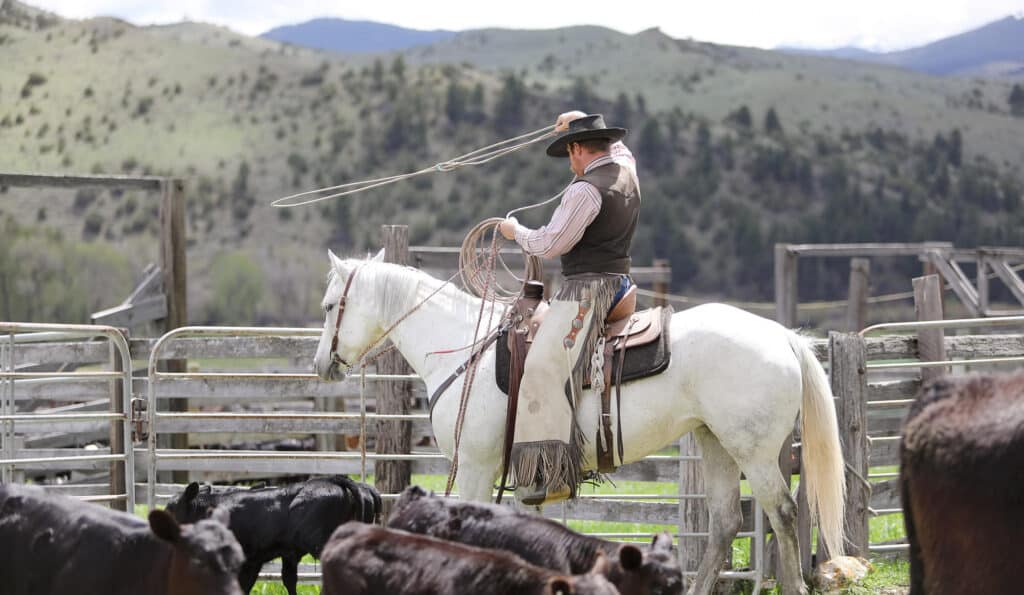
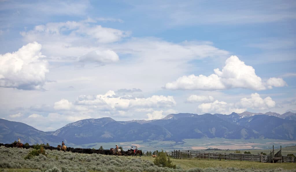
One of the most historically significant land and cattle empires in the Rocky Mountain West, Climbing Arrow Ranch consists of approximately 79,582 acres, of which about 73,180 are deeded. CA Ranch has a long, storied history of agricultural production, with a cow herd of nearly 2,000 commercial Black Angus cattle.
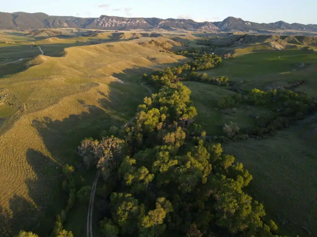
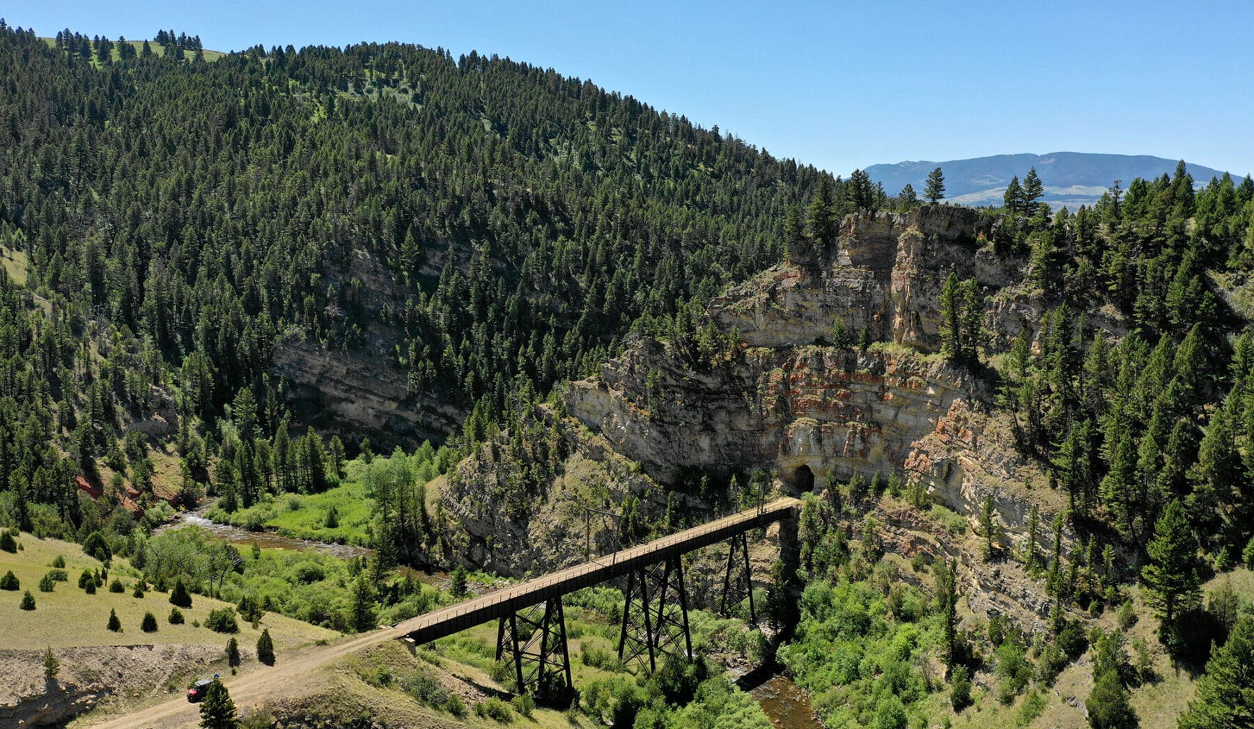
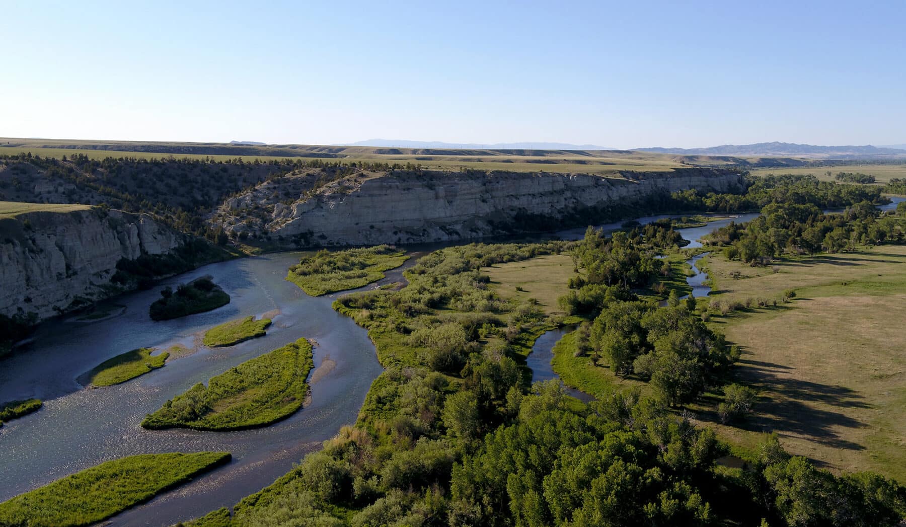
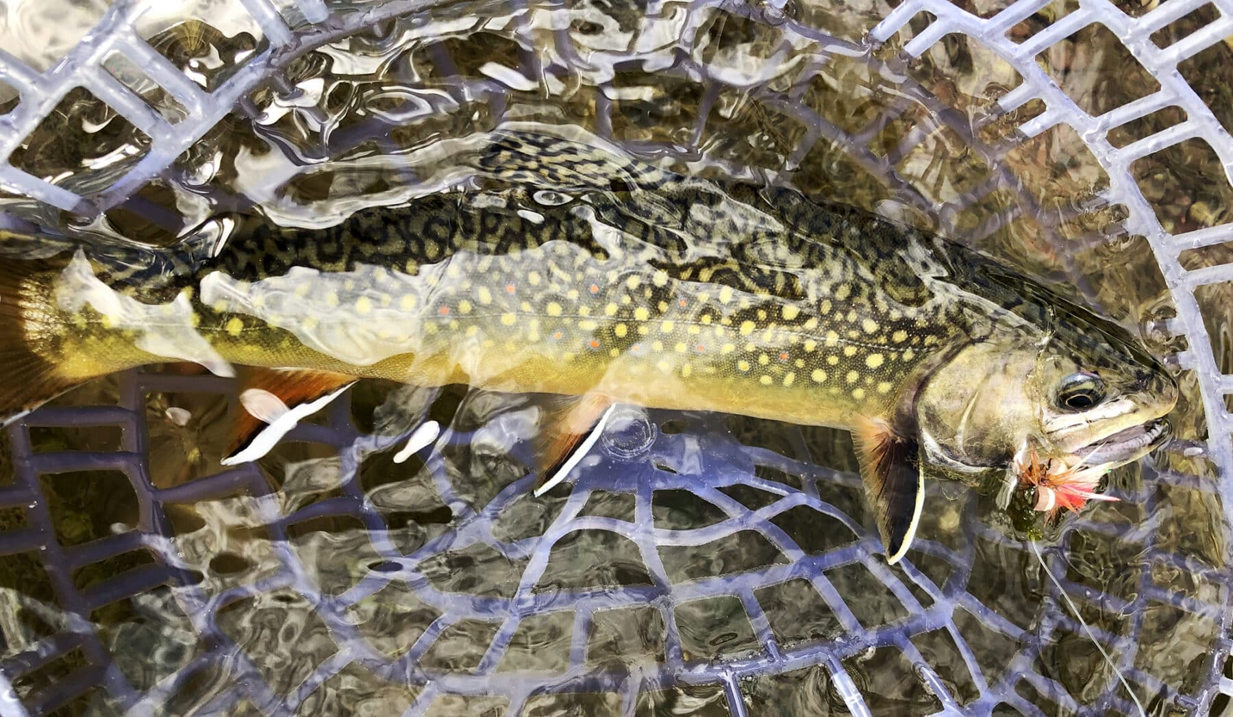
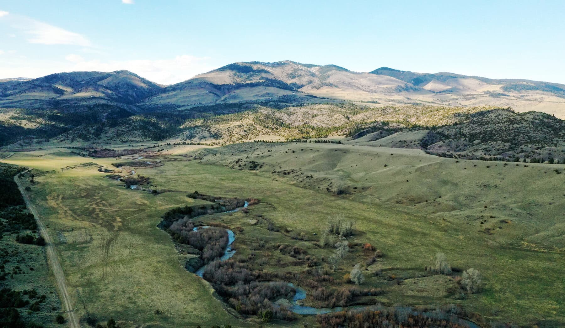
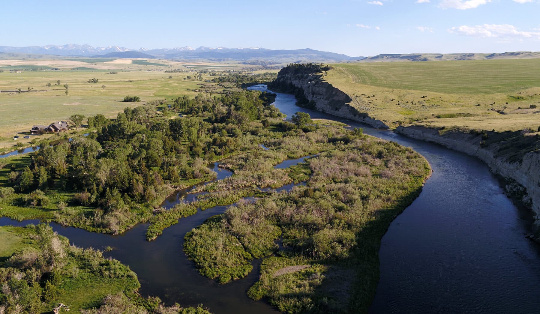
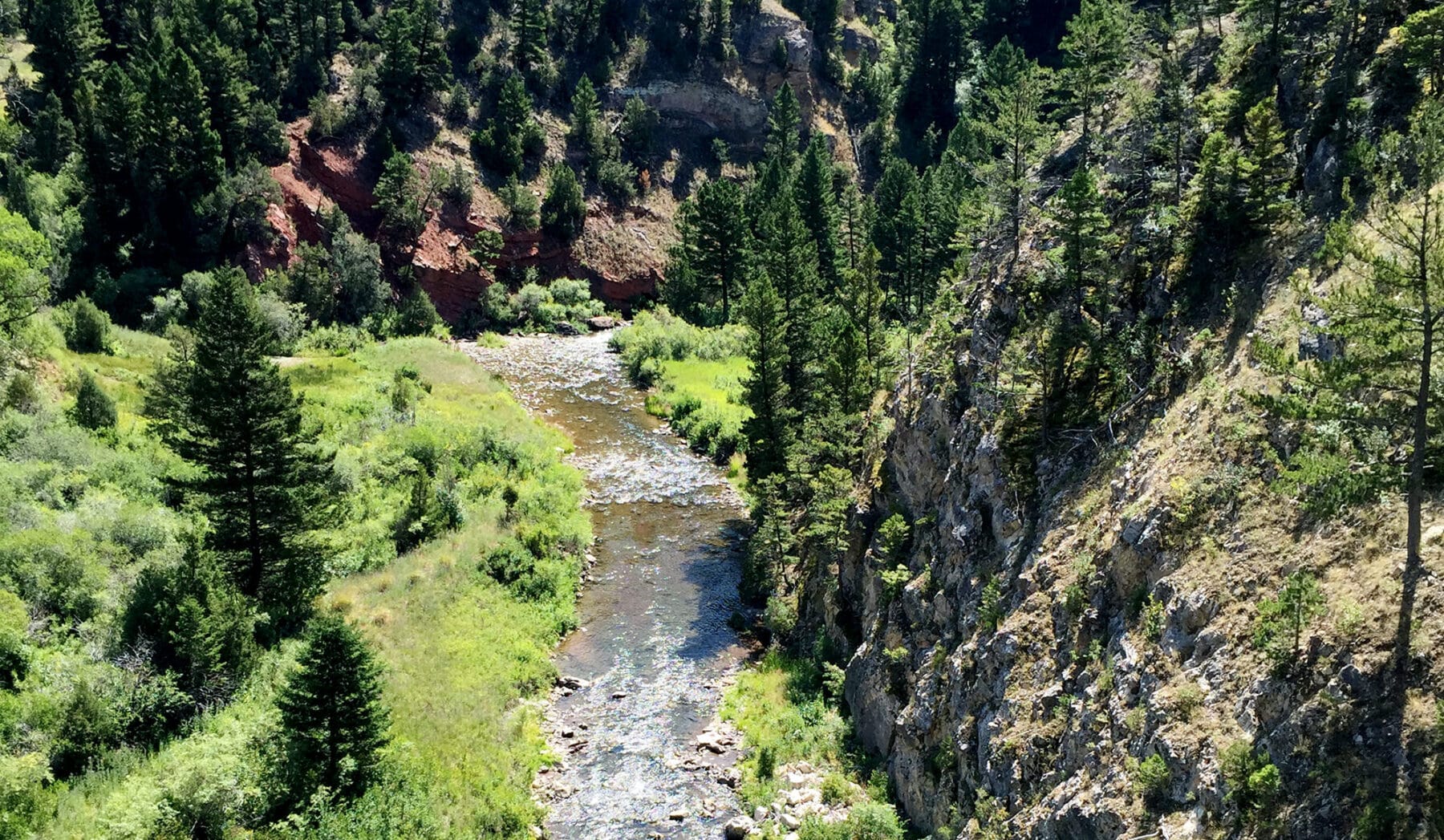
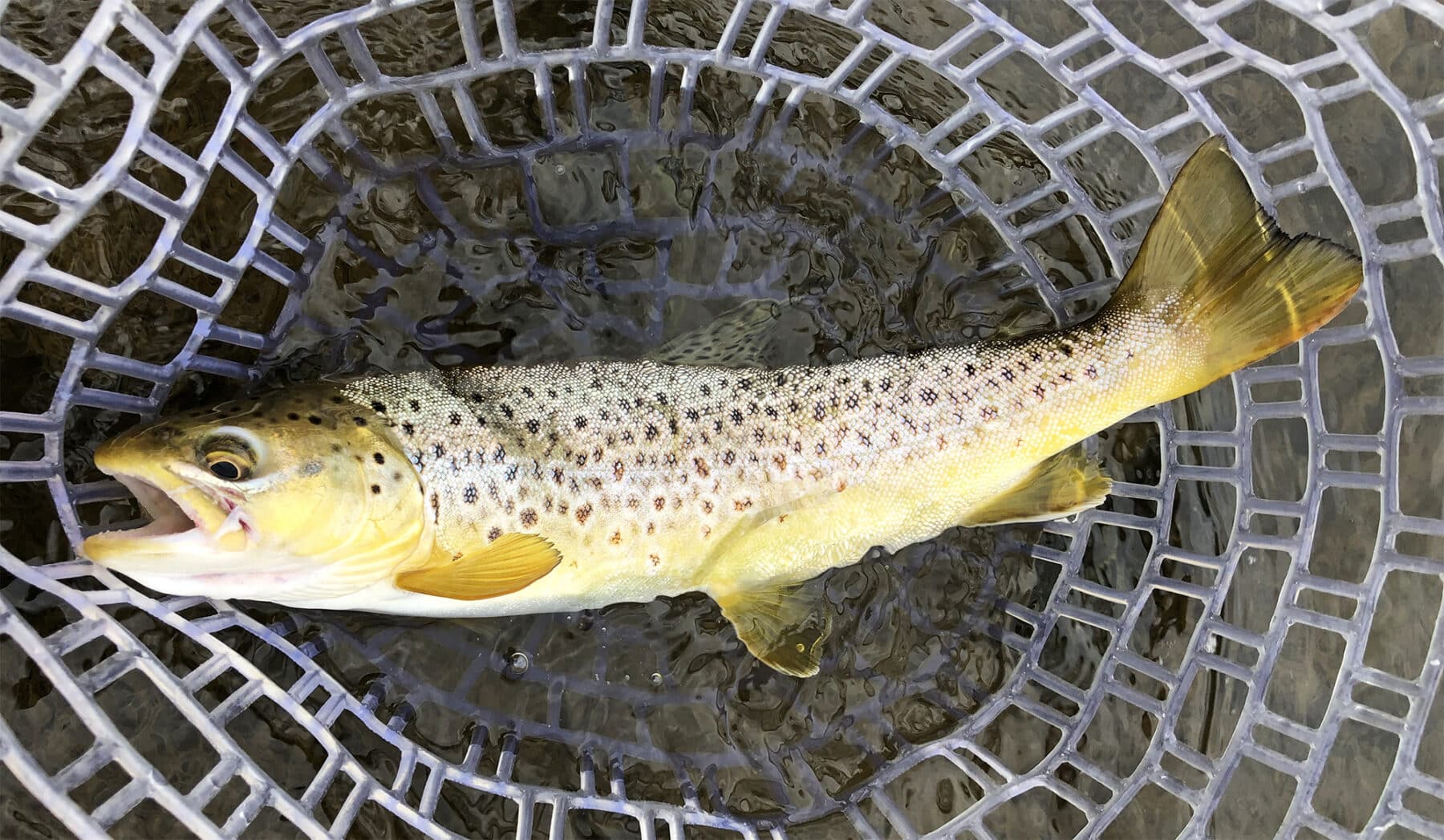
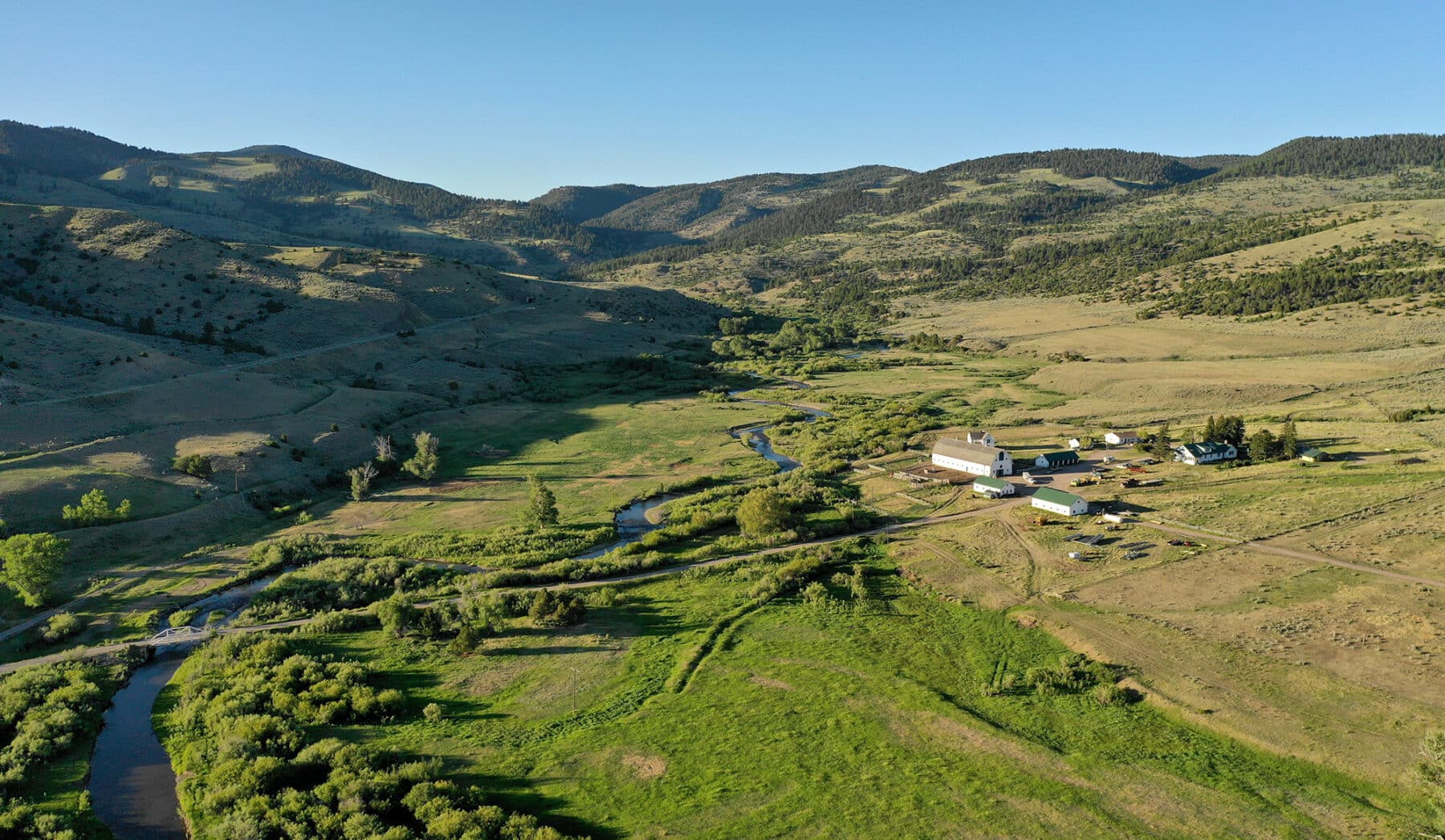
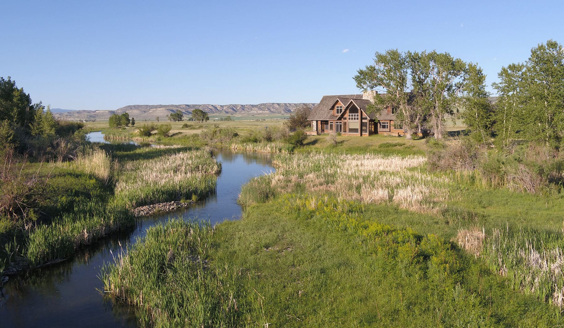
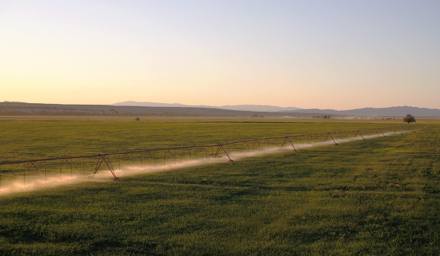
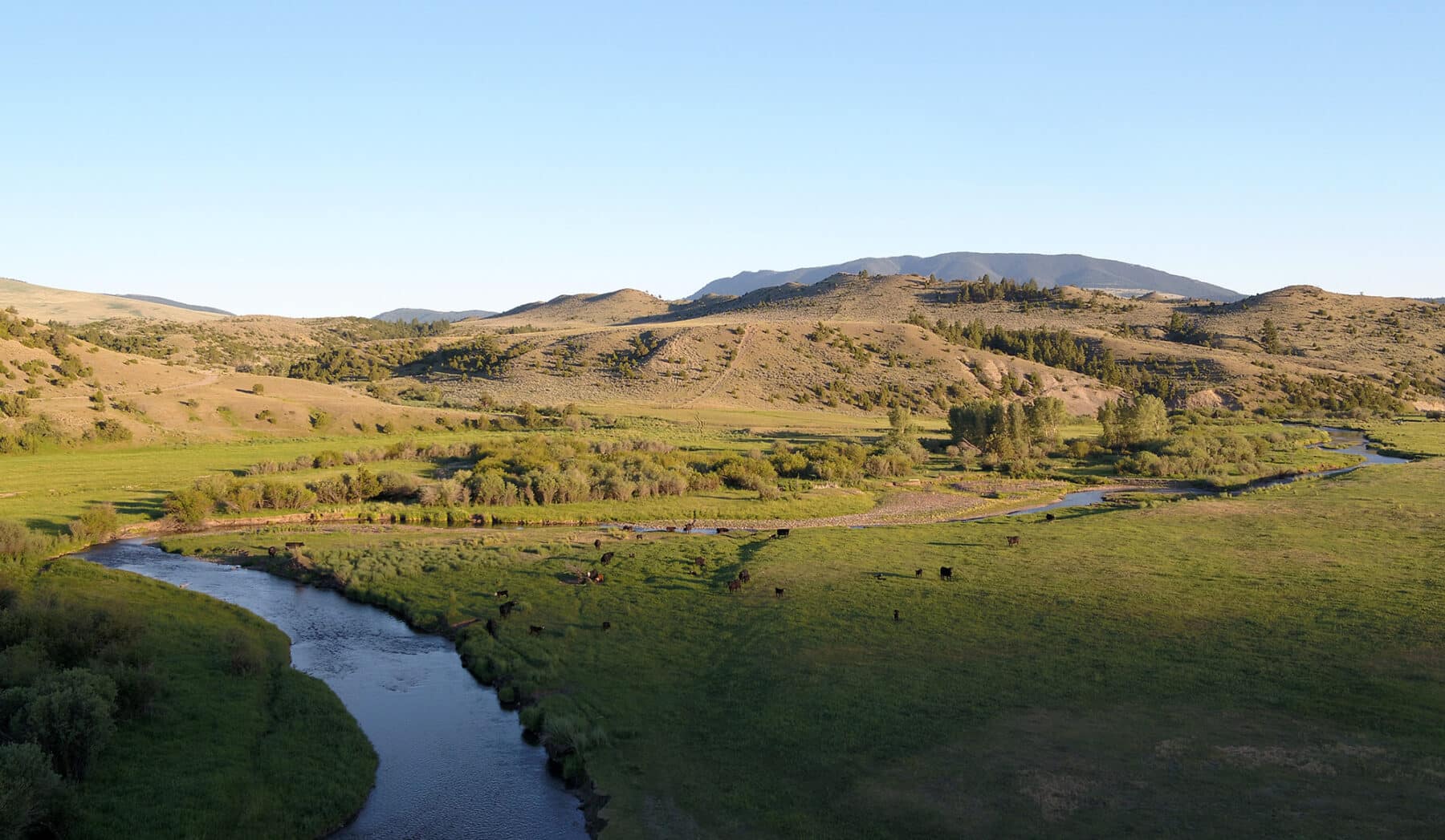
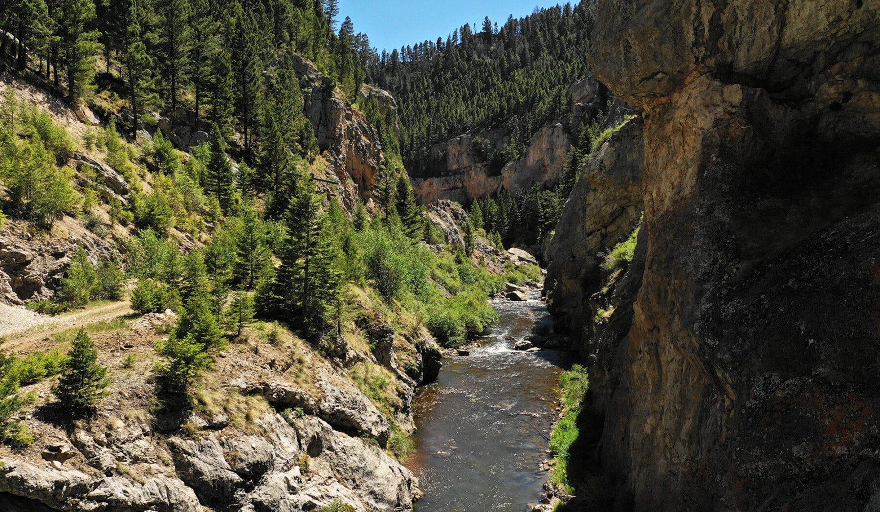
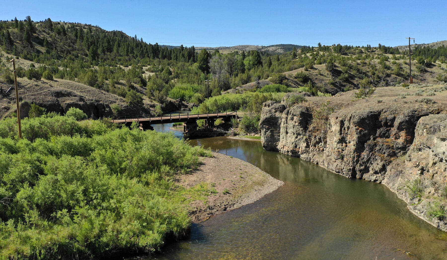
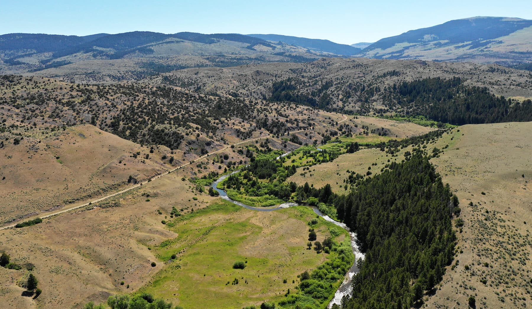
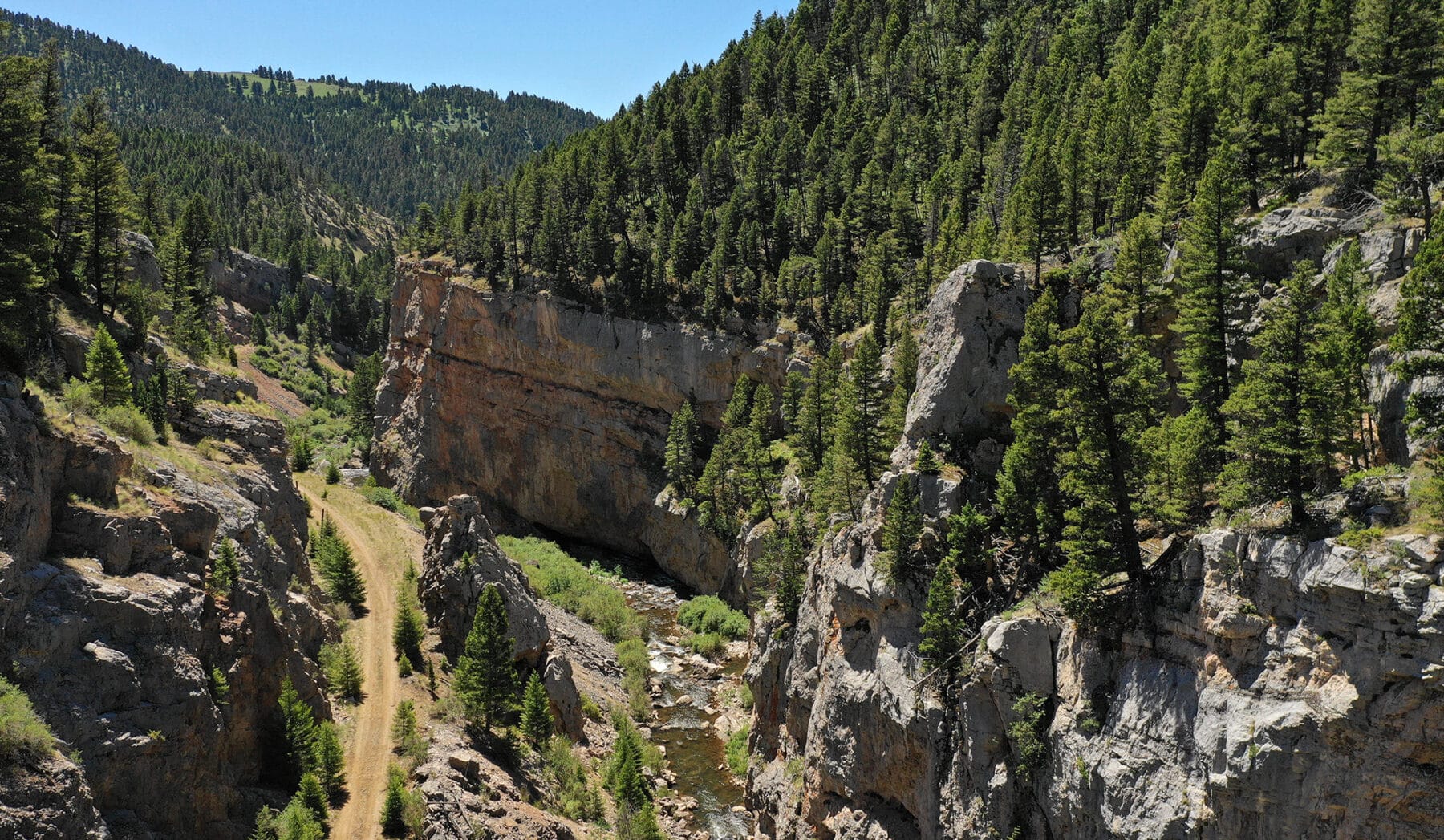
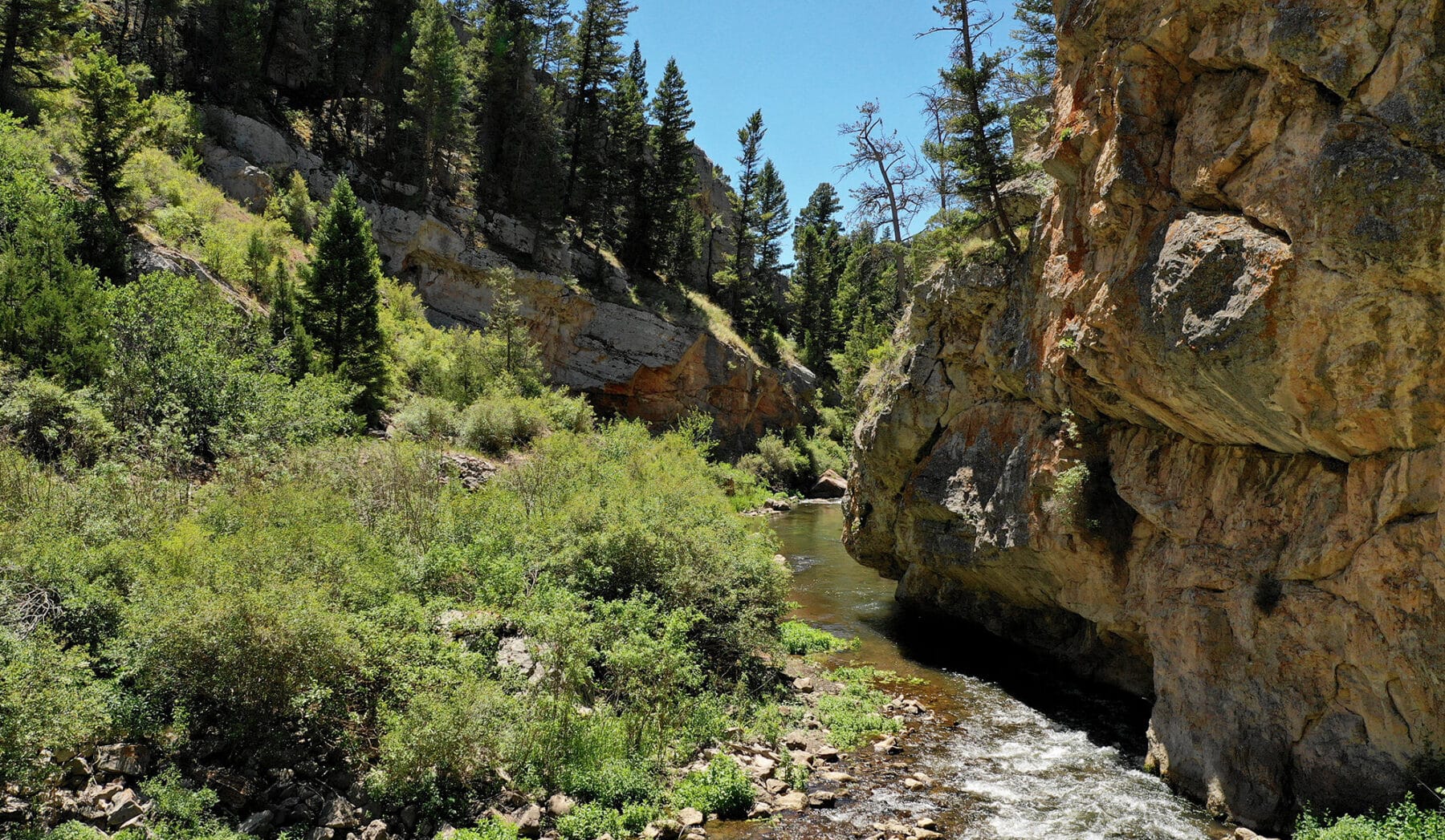
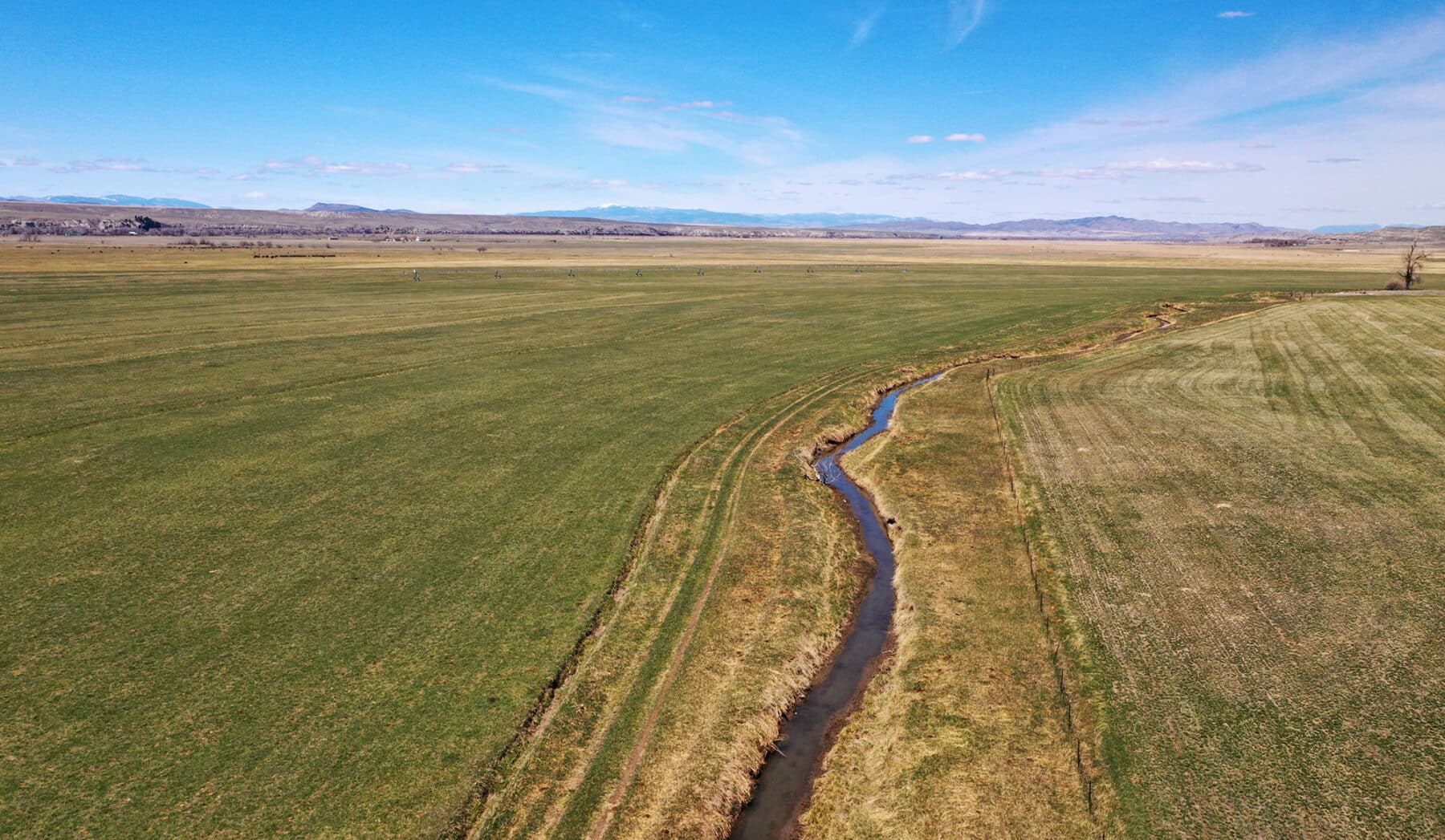
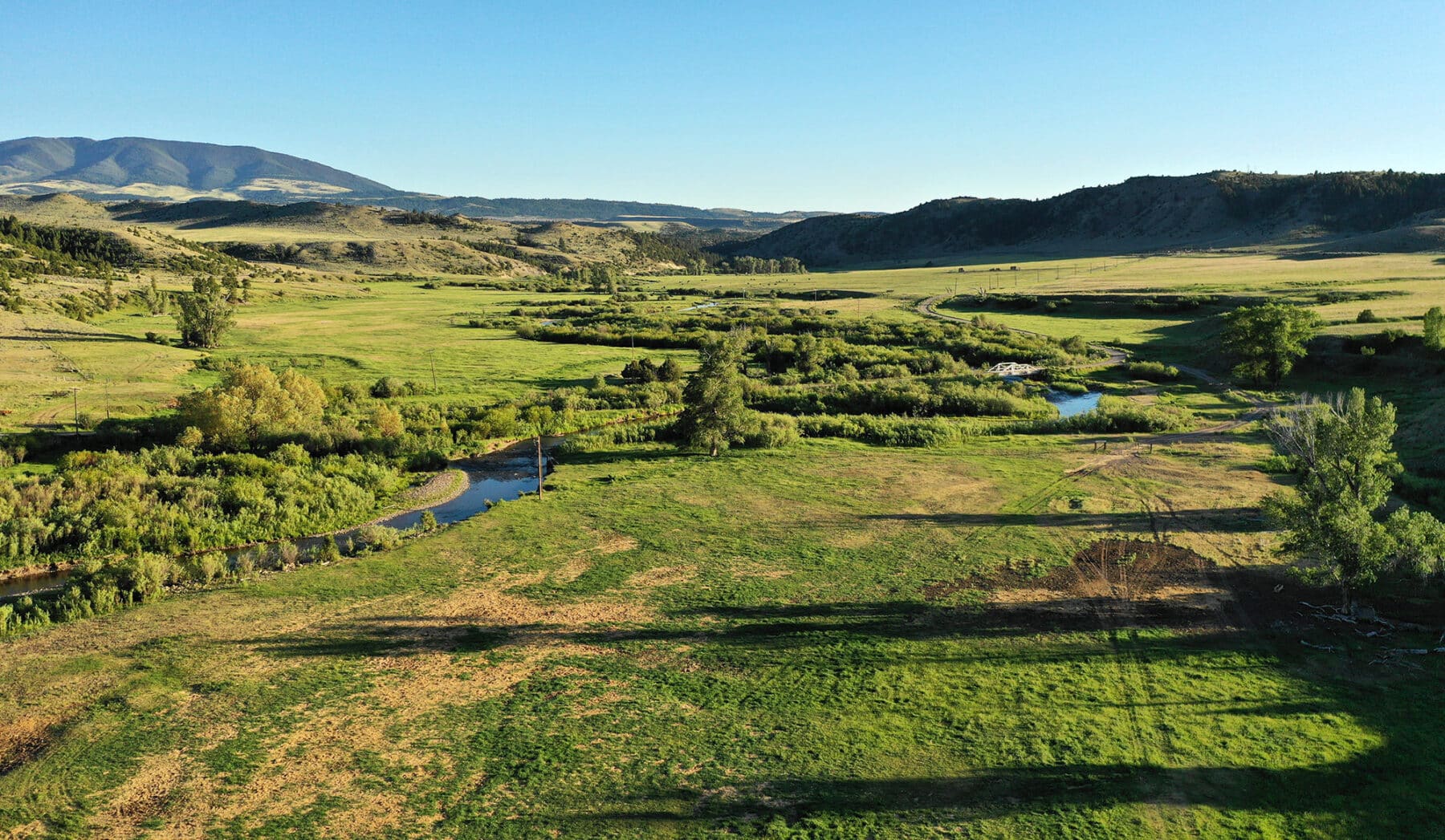
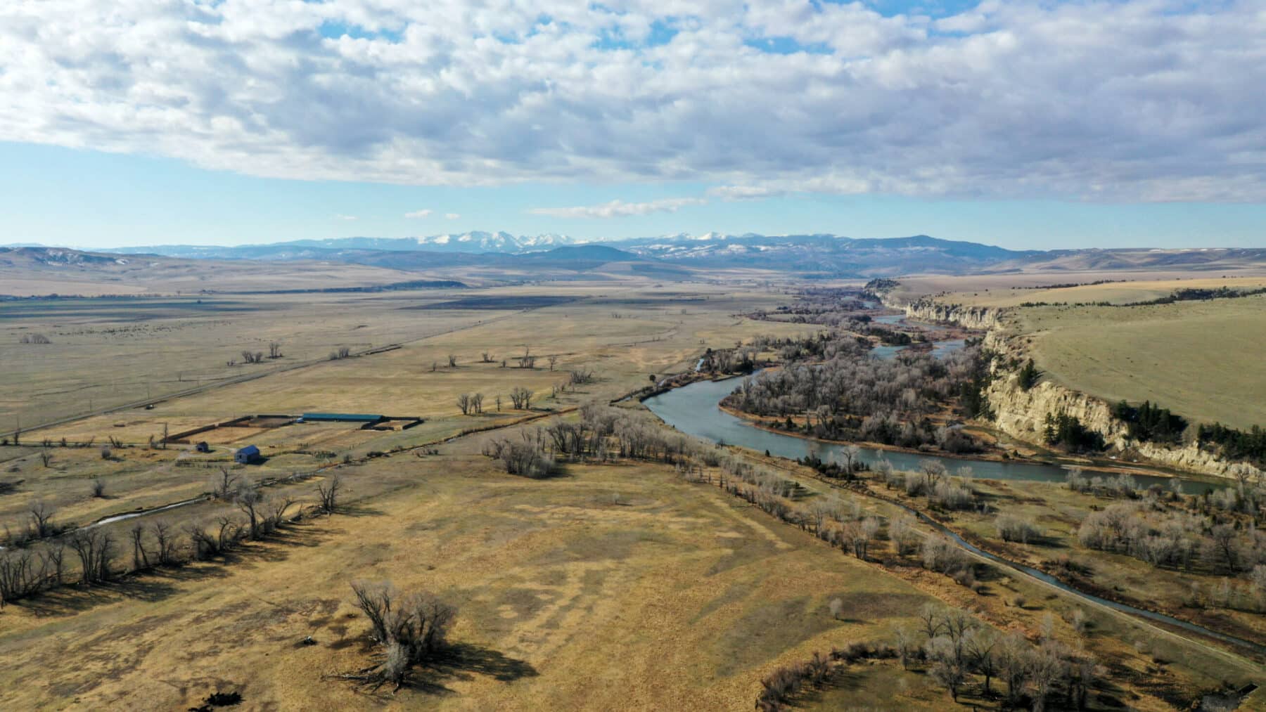
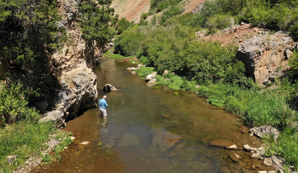
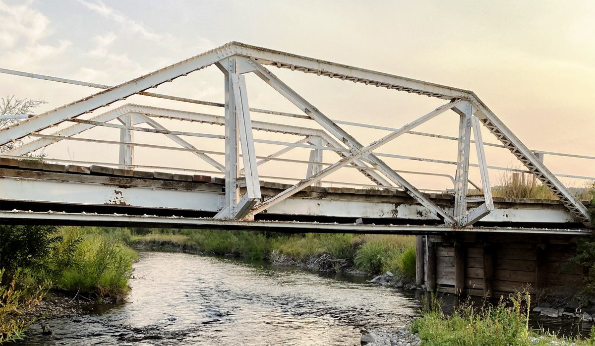
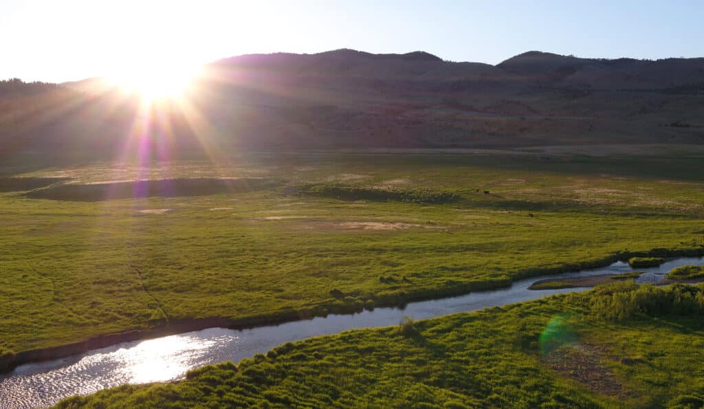
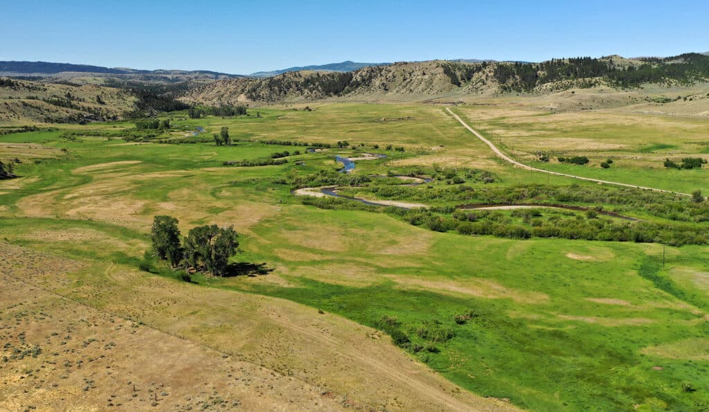
Teeming with German browns, cutthroat and rainbow trout, fly fishing on the CA is legendary. The pristine trout waters of the North Fork, Middle Fork, and the main channel of Sixteenmile Creek serpentine through the Francis Unit for over 17 miles, and nearly 3.5 miles of the acclaimed Madison River form the western edge of the Valley Unit, creating a private fishing experience like no other in Montana.
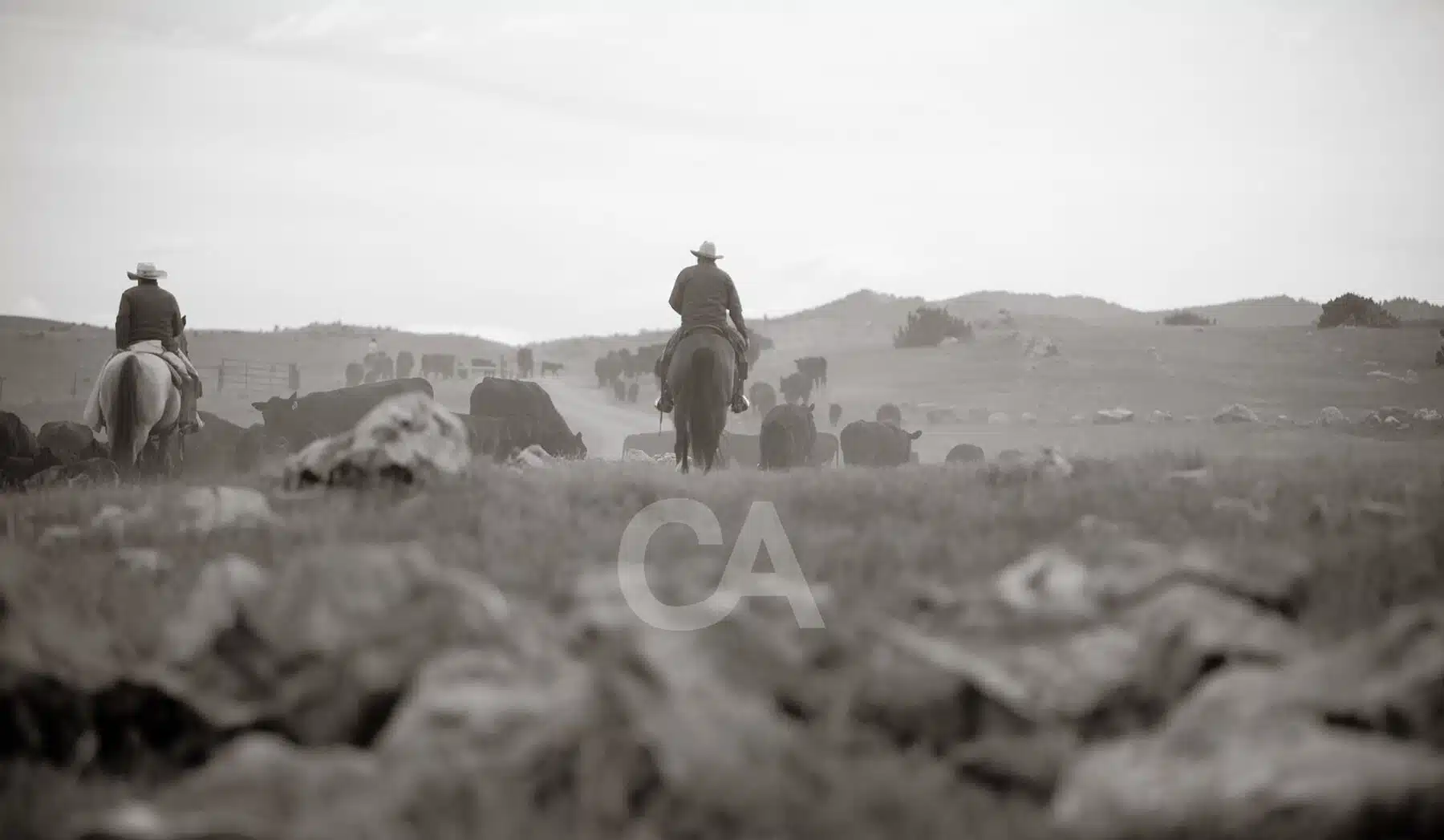
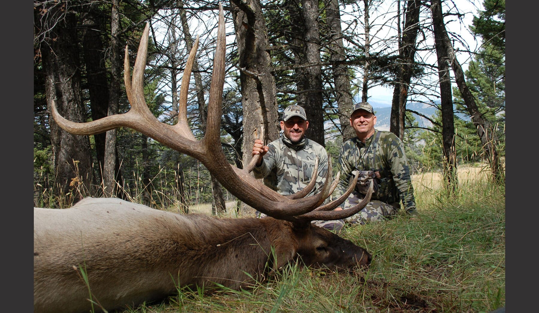
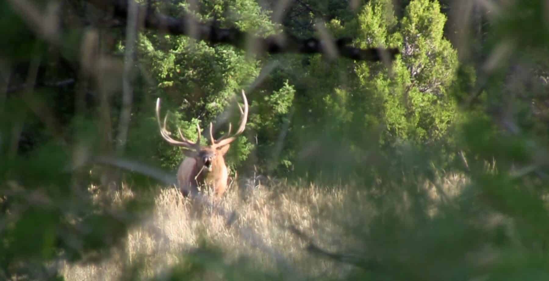
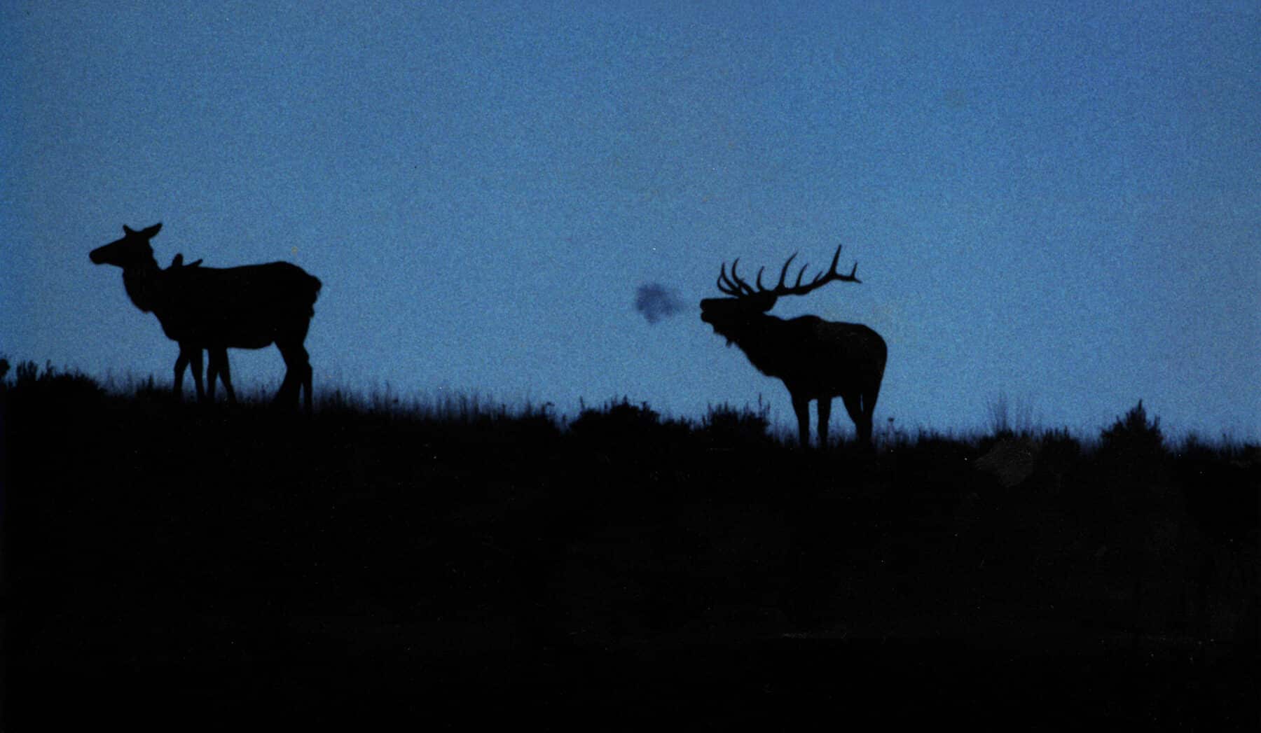
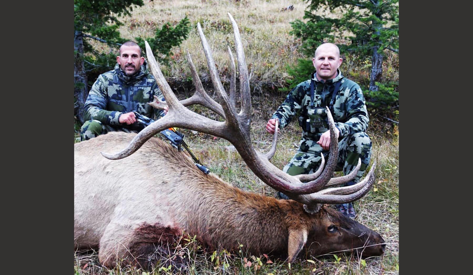
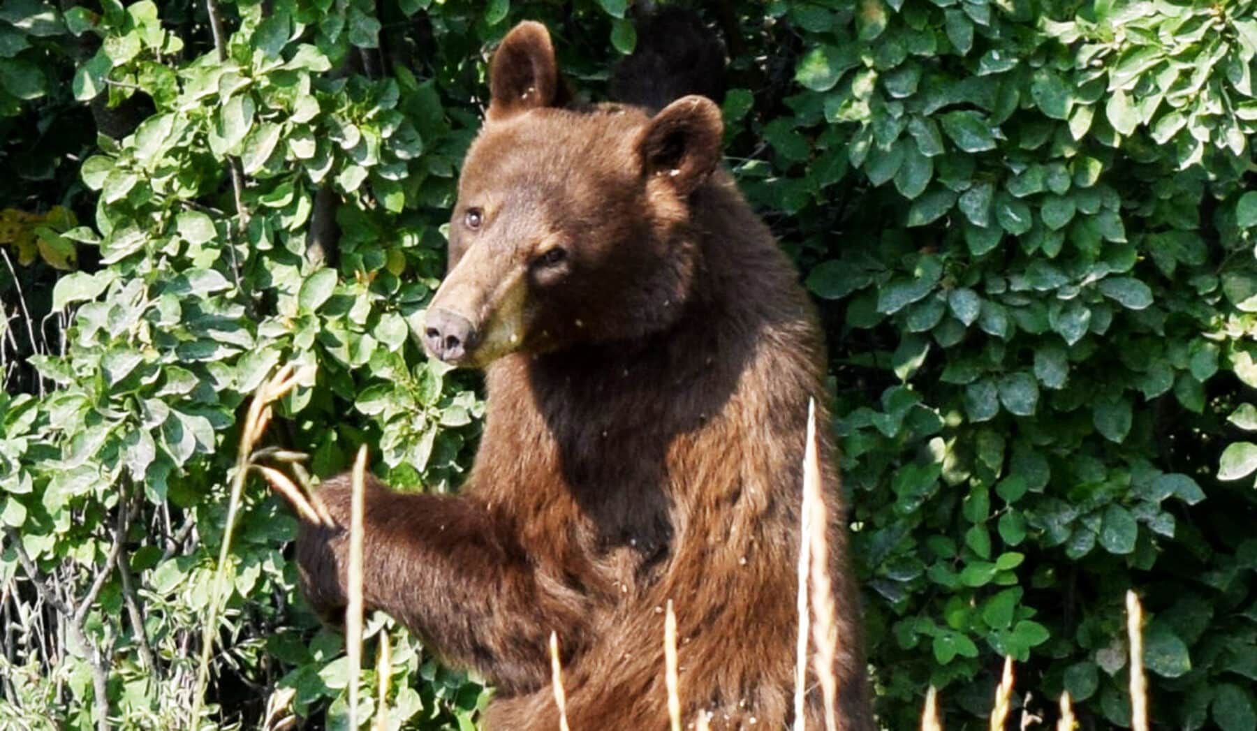
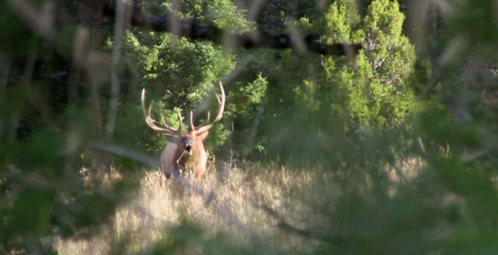
World-renowned elk hunting exists on the Francis Unit which is home to an elk herd of 900 to 1,500 and attracts dozens of magnum bulls scoring in the 350 to 370 class with larger bulls harvested in the 390 range.
Held in the same family for the past 62 years, ranches of this scope–with large-scale agricultural production, unrivaled big-game hunting, and private fishing waters, in one of the most desirable locales in the Rocky Mountains–are peerless in today’s western land market.
The approximate breakdown of the Francis Unit acreage is as follows:
|
Native Pasture Total Acreage |
42,890± Acres 61,580± Acres |
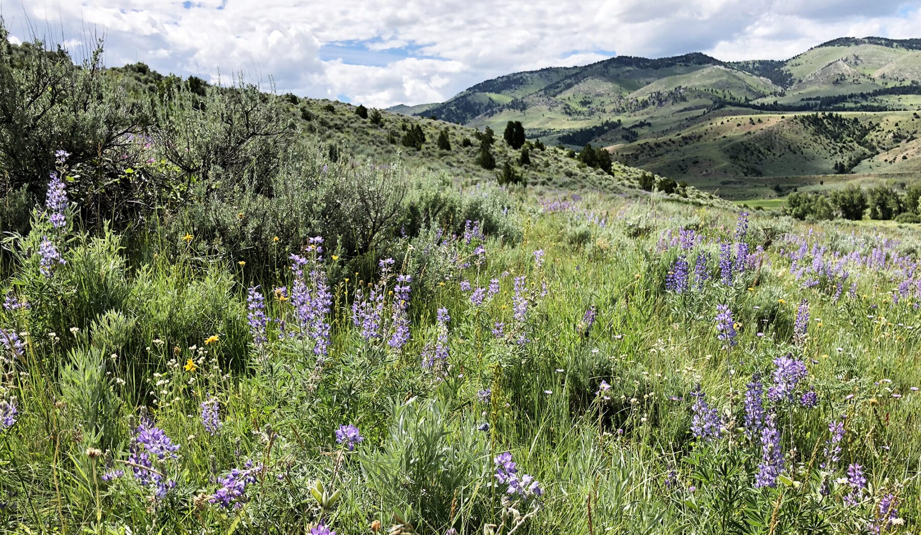
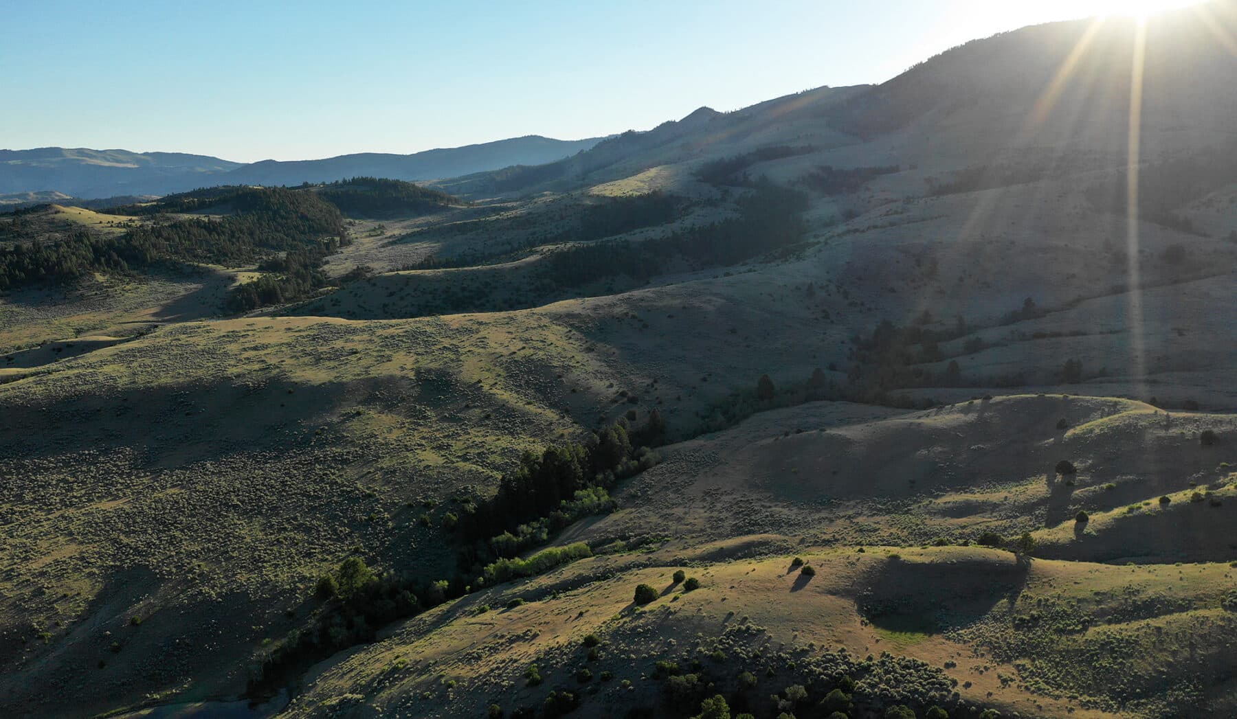
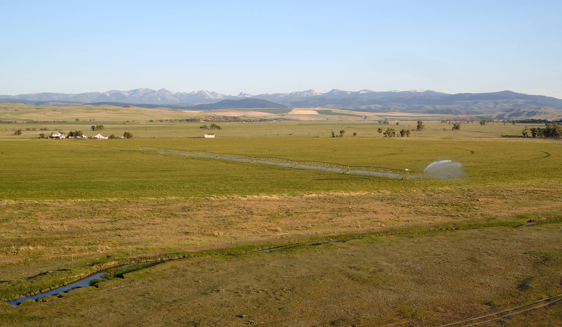
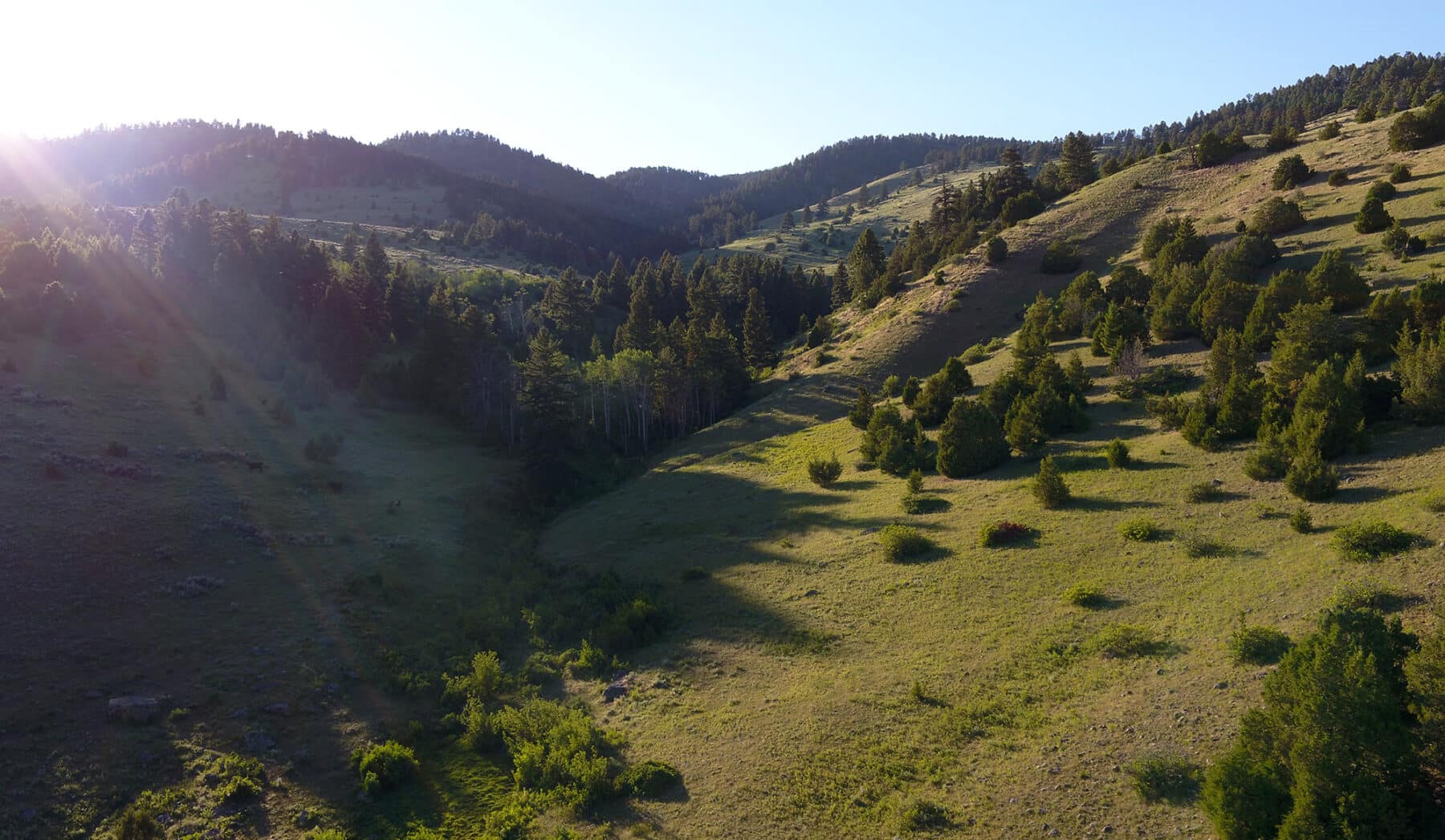
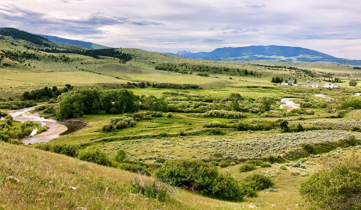
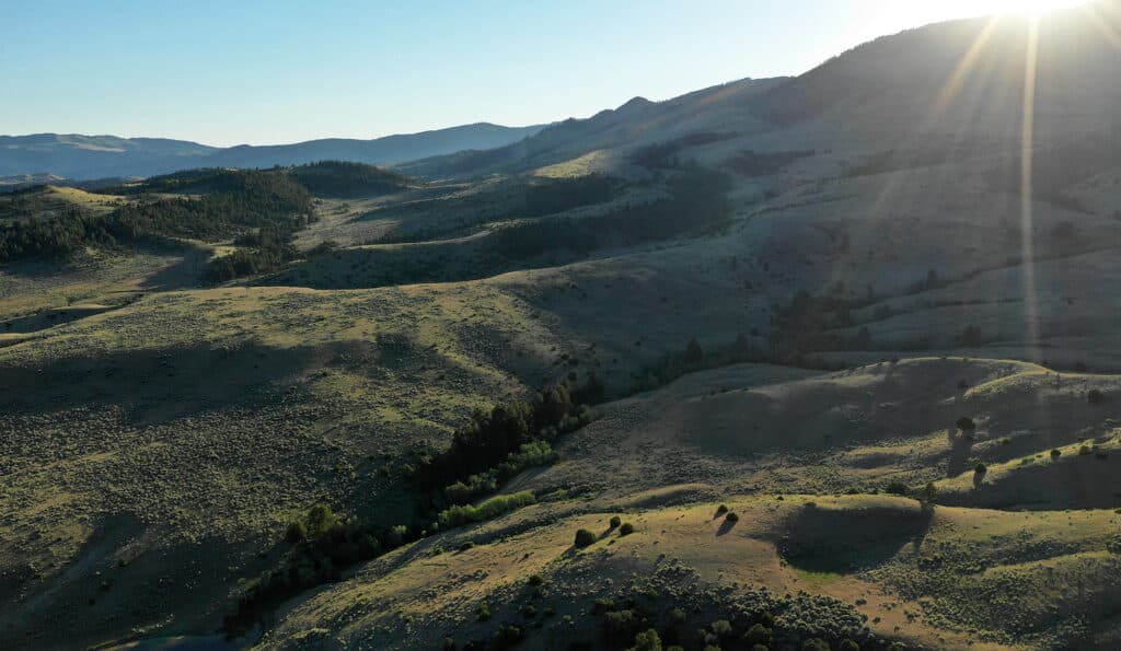
This massive 60,000-plus acre contiguous holding boasts timbered hillsides, open mountain meadows, and lush riparian threads, and is one of the last large untainted mountain units left in Gallatin County.
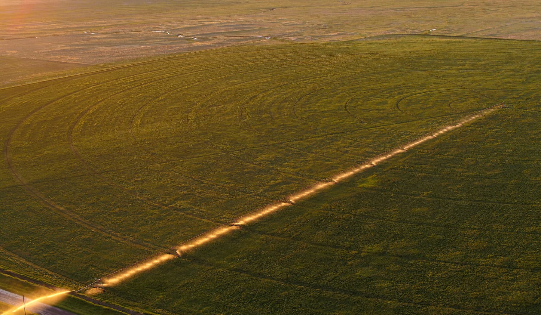
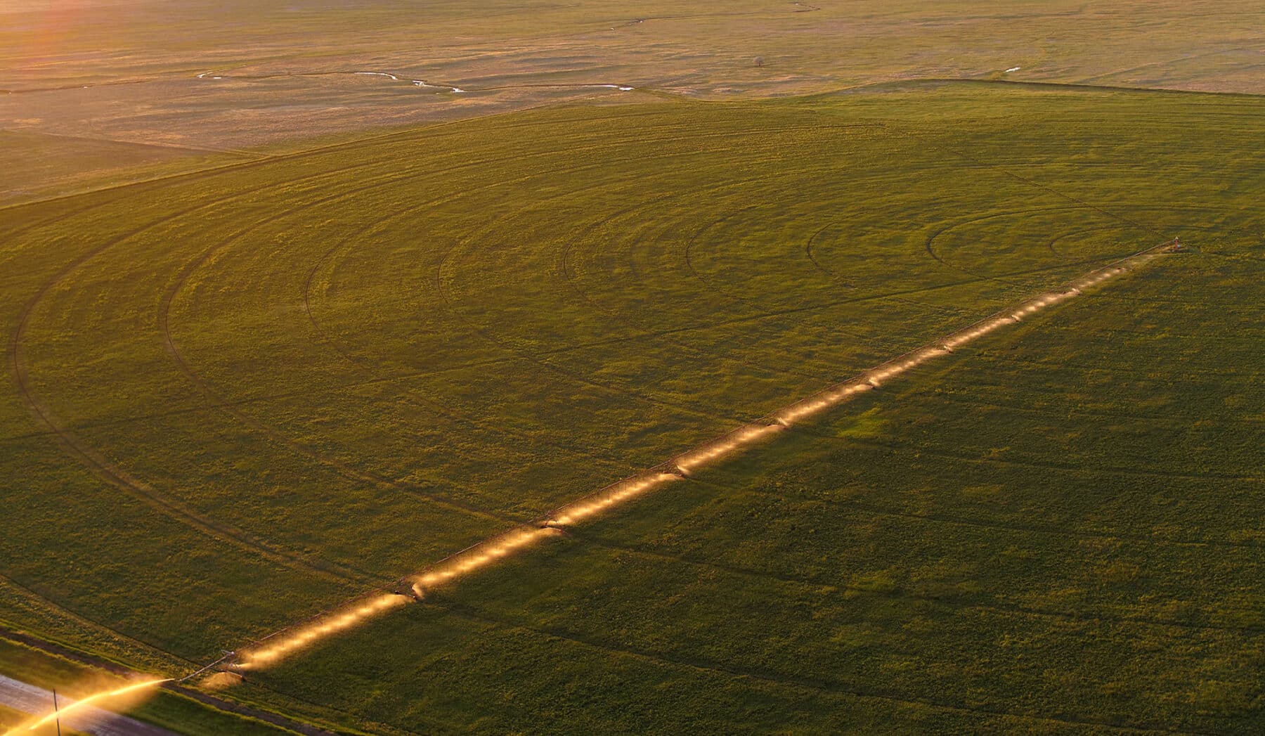
IRRIGATION WATER RIGHTS
Source |
Priority Date |
Number |
Cubic Feet/Second |
| Sixteenmile Creek Sixteenmile Creek |
1887 1886 |
41I-13825 41I-13827 |
4.60 3.75 |
STOCK WATER RIGHTS
HUNTING
Montana Fish, Wildlife and Parks – Region 3
1400 South 19th Avenue
Bozeman, MT 59718-5496
406‑994-4042
FISHING
LOCATION AND ACCESS
ELEVATION AND CLIMATE
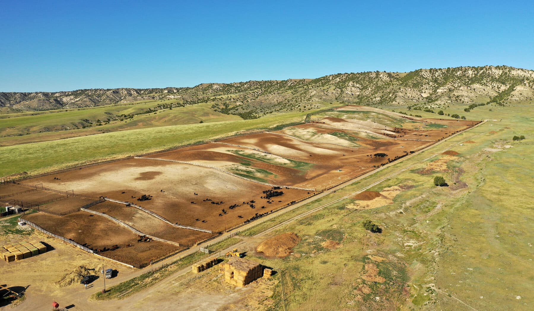
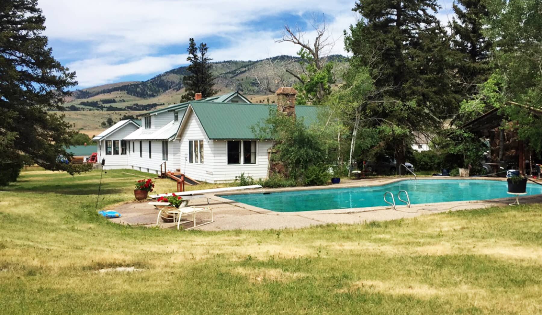
IMPROVEMENTS
The approximate breakdown of the Valley Unit acreage is as follows:
| Pasture Irrigated Crop Land River & Riparian Bottom Improvements and Feedlot State of Montana Lease Land Total Acreage |
3,526± Acres 5,454± Acres |
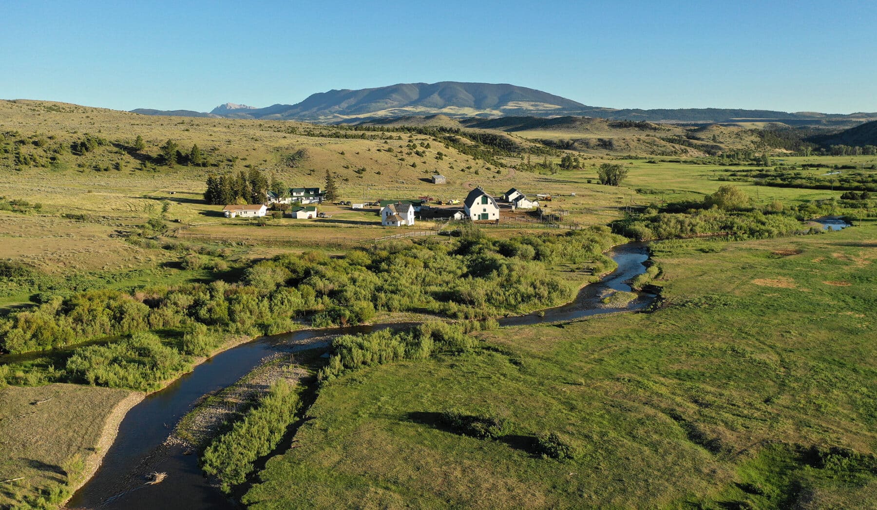
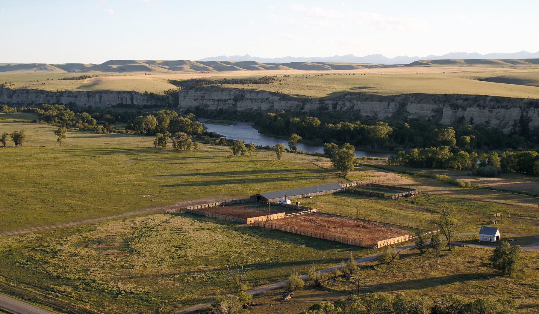
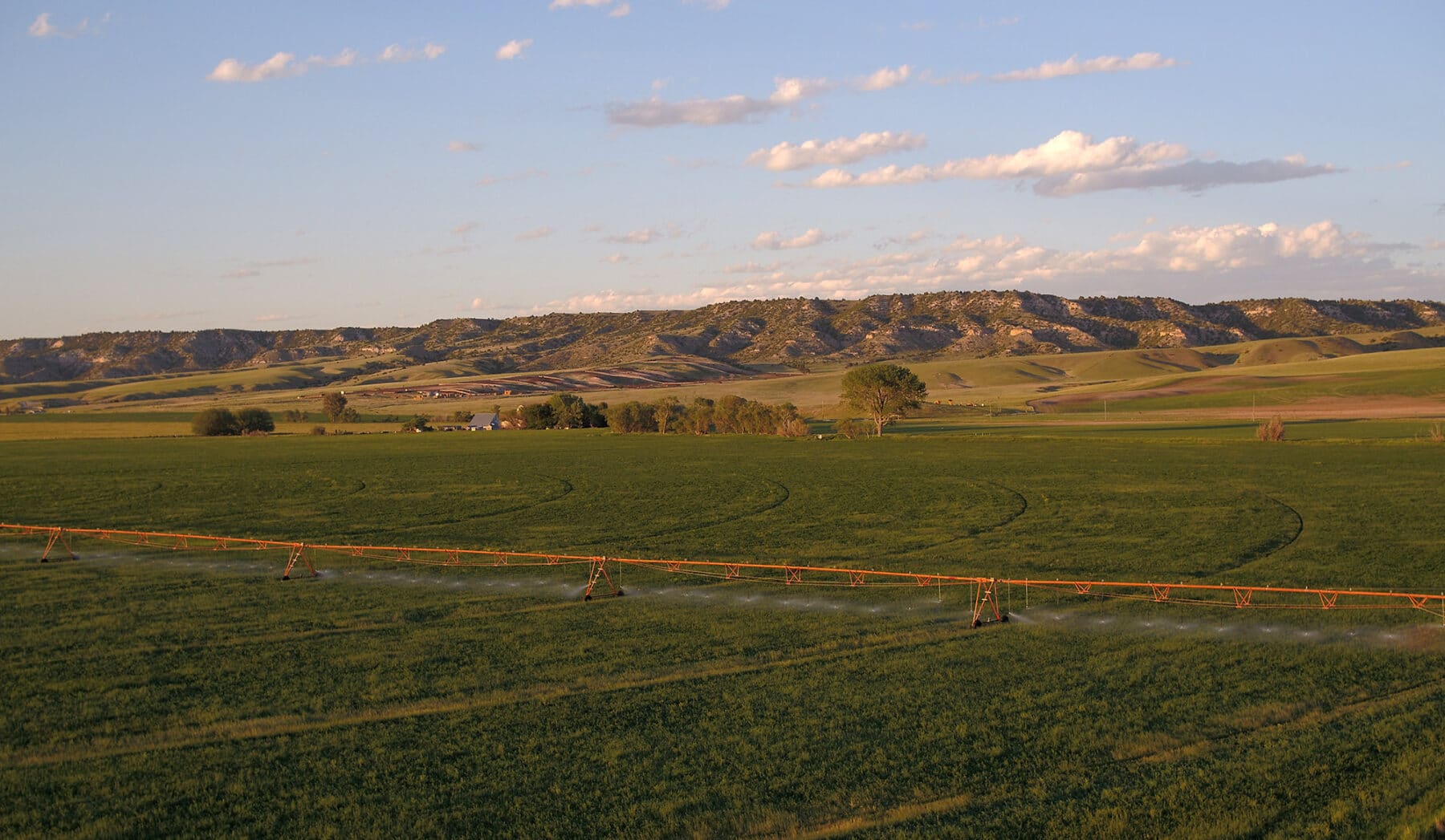
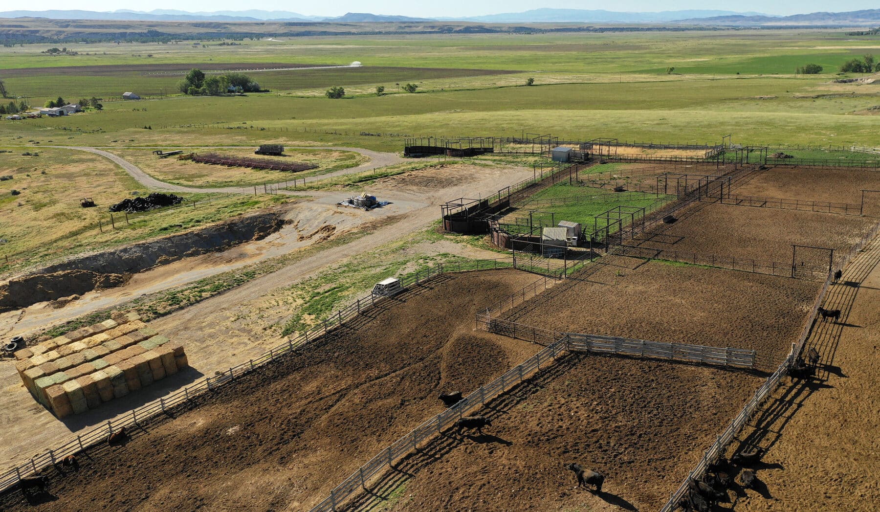
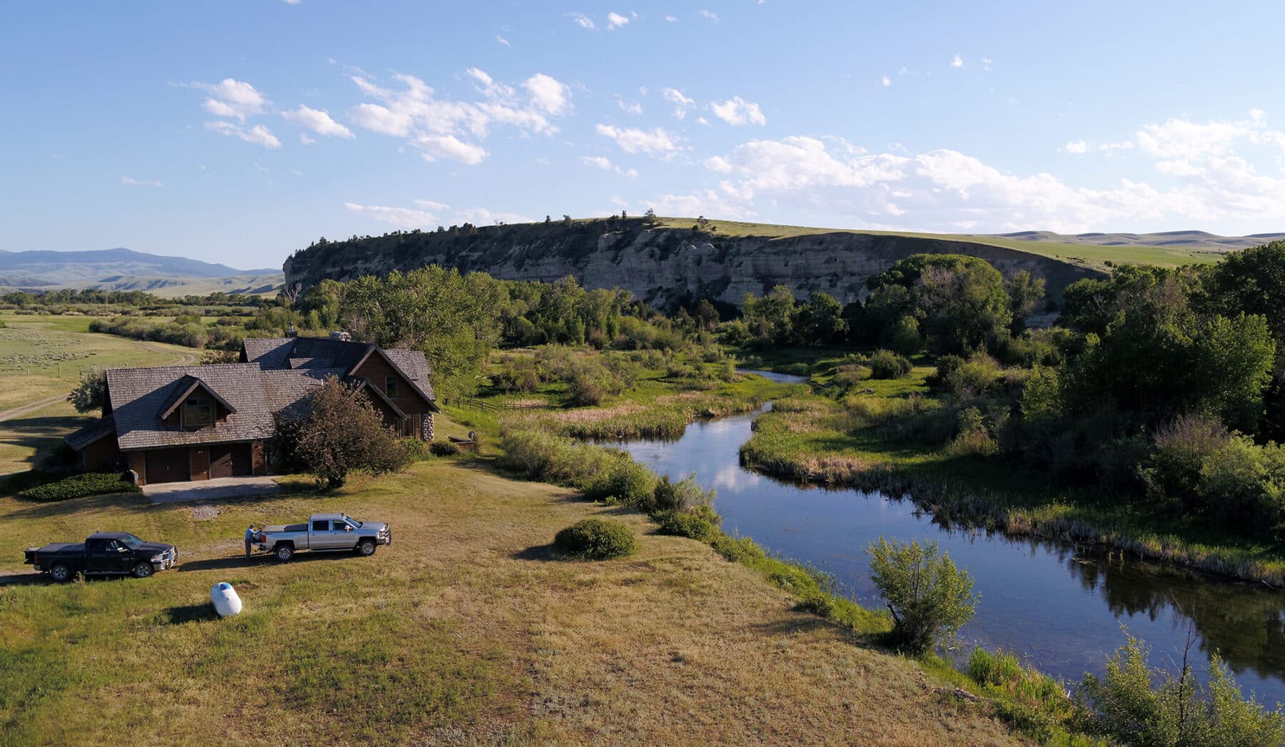
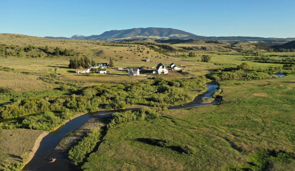
The Valley Unit serves as the main Headquarters area for the overall operation of the Ranch. The main working shop and feedlot are situated here. Here the majority of the mother cows calve in the irrigated pastures and along the Madison River bottom, and the annual hay crop is harvested. Six full-time employees run the Valley Unit, along with a handful of seasonal college hands.
IRRIGATION WATER RIGHTS
Source |
Priority Date |
Number |
Acre Feet |
| Madison River Madison River Madison River Madison River Madison River Madison River Madison River Madison River Madison River Ditch (Provisional Permit) |
1904 1897 1882 1897 1882 1904 1904 1882 1904 1982 |
41F-136440 41F-13821 41F-13822 41F-13823 41F-13824 41F-13828 41F-13829 41F-13830 41F-13831 41F-48439 |
273 164 584 584 768 143.5 156 213 1,656 240 |
STOCK WATER RIGHTS
FISHING

IMPROVEMENTS
LOCATION AND ACCESS
ELEVATION AND CLIMATE
The approximate breakdown of the Hudson Unit acreage is as follows:
| Native Pasture Improved Pasture State of Montana Lease Land Total Acreage |
7,545± Acres 12,031± Acres |
This winter grazing Unit consists of a large plateau stretching between Red Mountain on the eastern edge and almost to Willow Creek Reservoir on the western edge. The elevated plain is exposed to the winter-weather fronts traveling through the region and remains open throughout the winter months, keeping the short high-protein grasses accessible for cattle. With protection in the coulees and the draws and strategically located water tanks, the Hudson serves as an excellent grazing resource and allows the Ranch to feed minimal hay during the cold winter months.
IMPROVEMENTS
LOCATION AND ACCESS
ELEVATION AND CLIMATE
HUNTING
1400 South 19th Avenue
Bozeman, MT 59718-5496
406‑994-4042
ELEVATION AND CLIMATE
LOCATION AND ACCESS
ELEVATION AND CLIMATE
LOCATION AND ACCESS

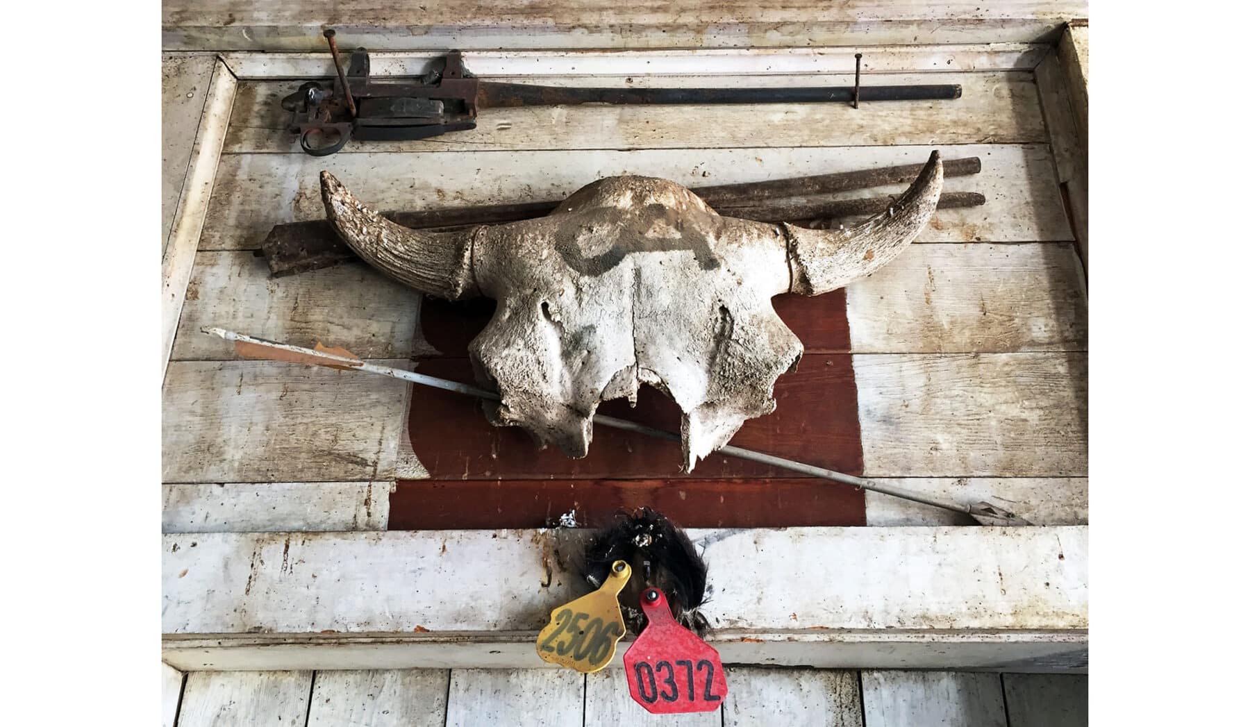
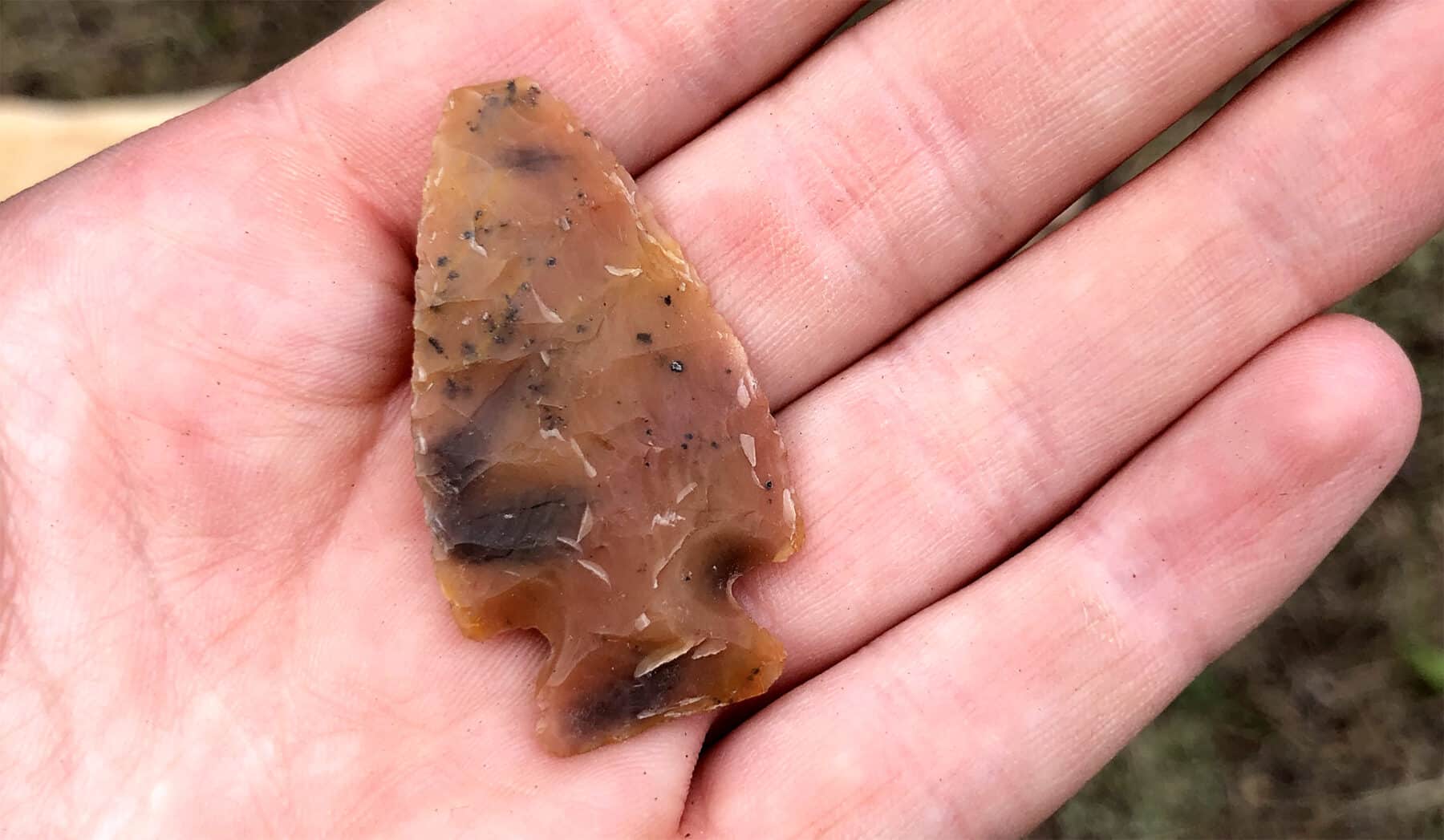
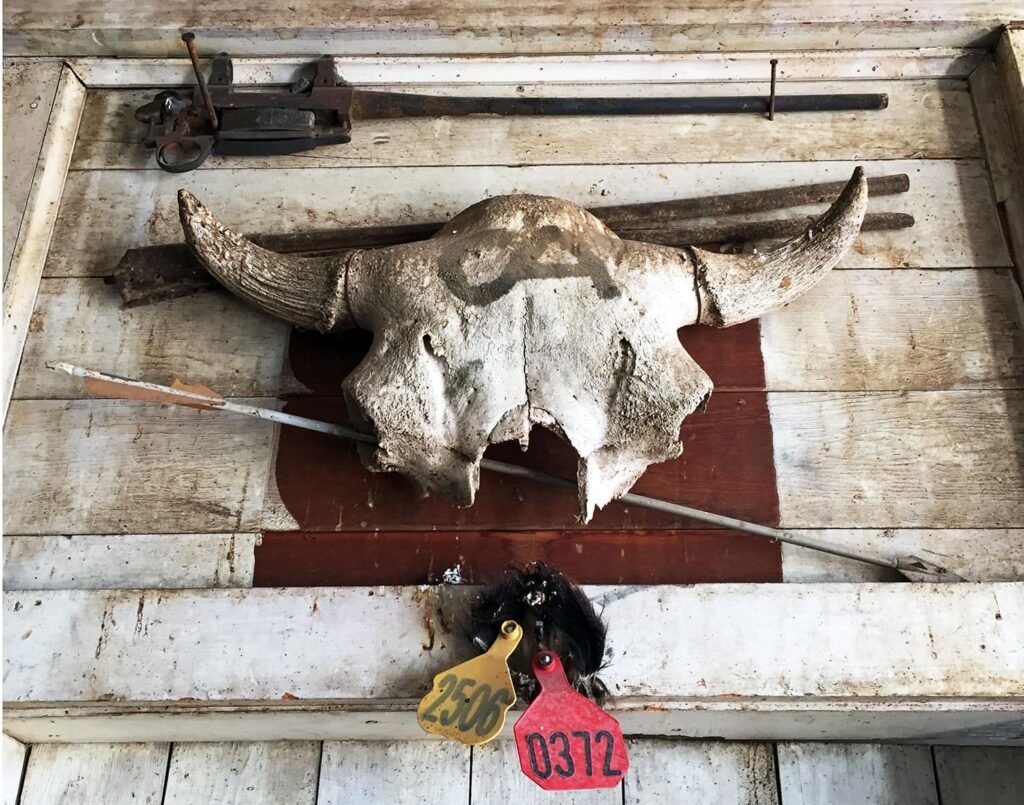
BRAND HISTORY
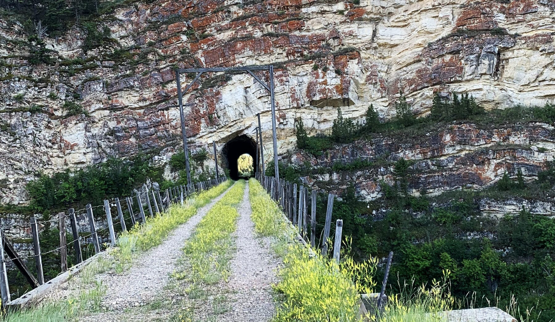
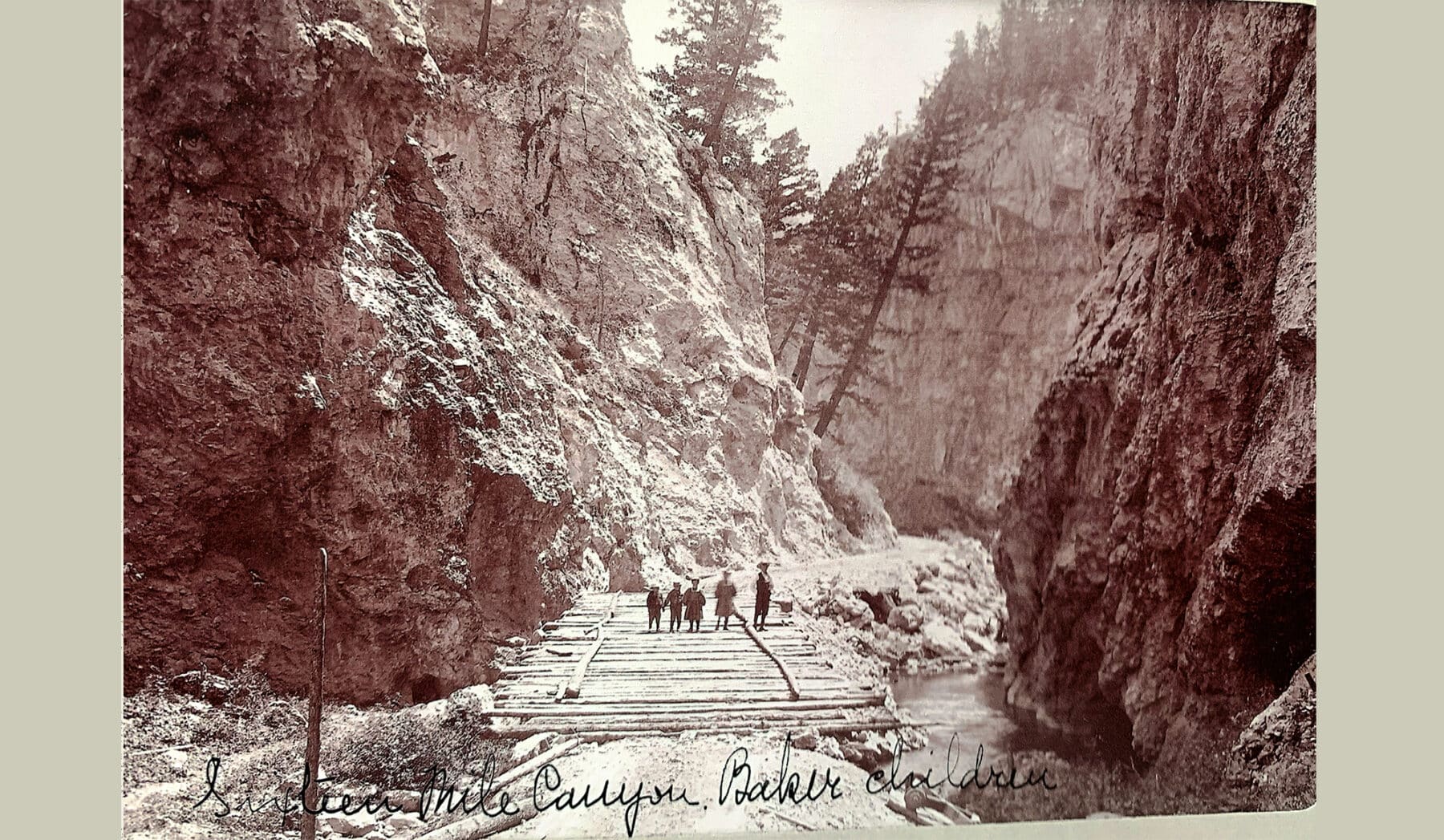
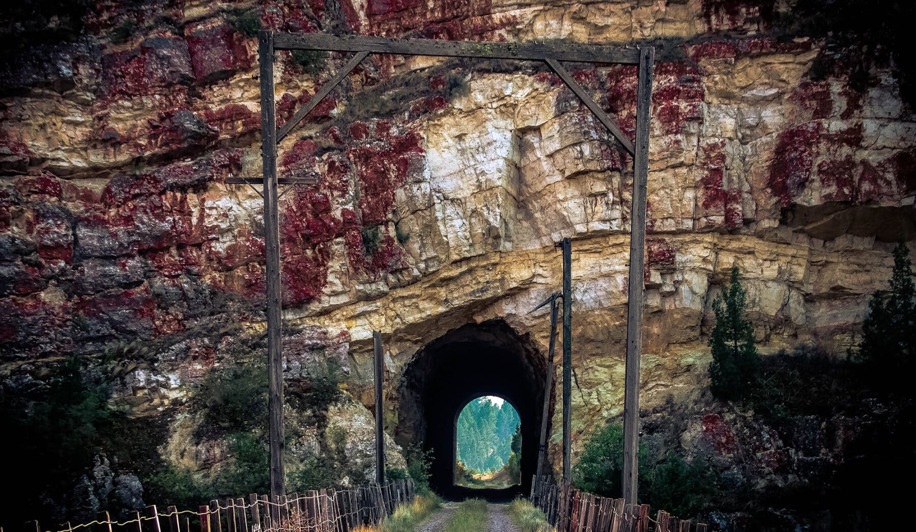
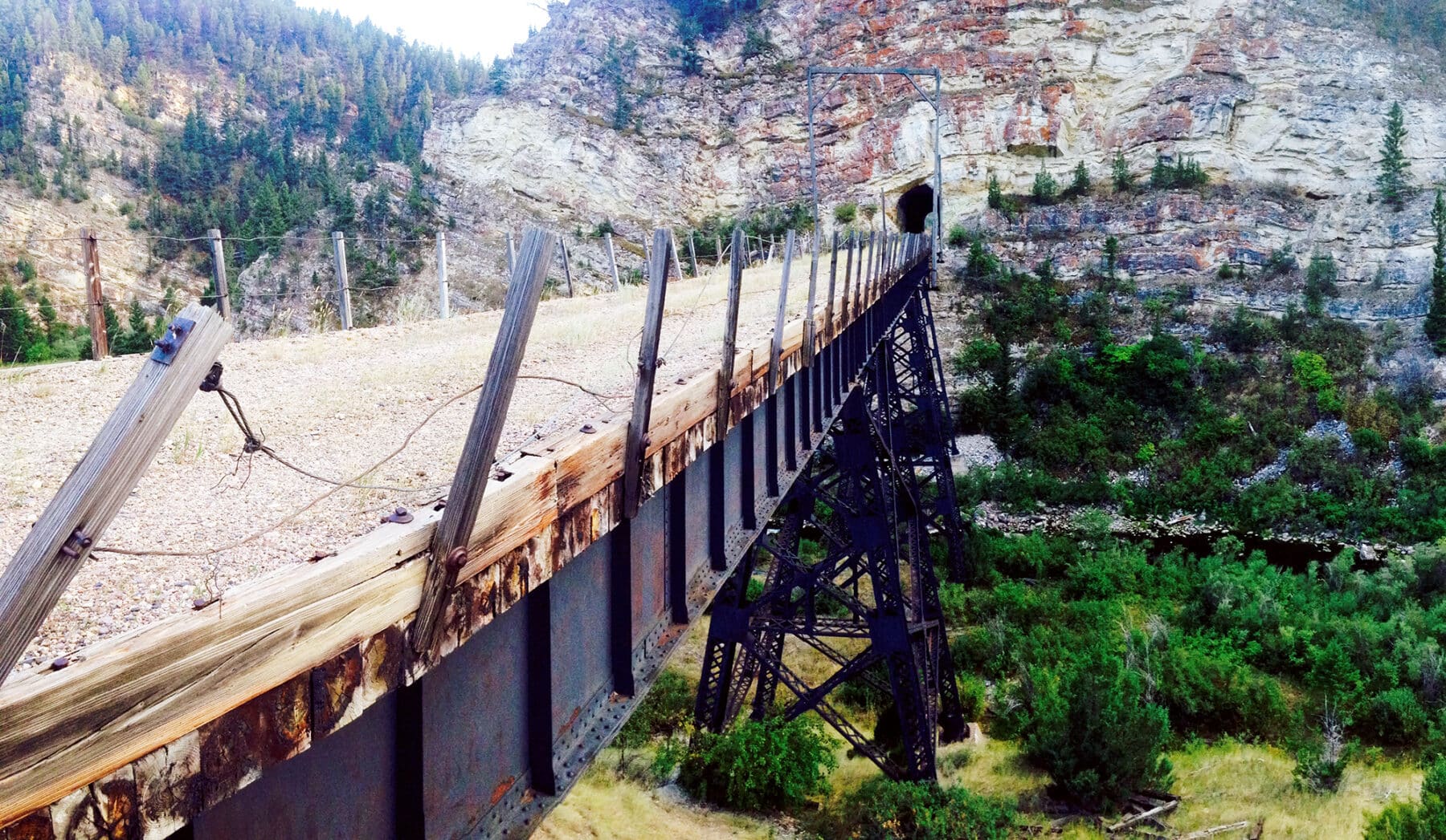
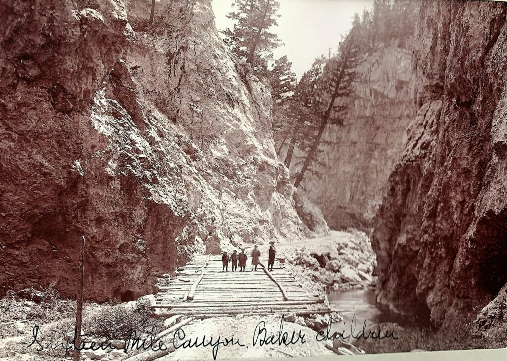
RAILROAD HISTORY

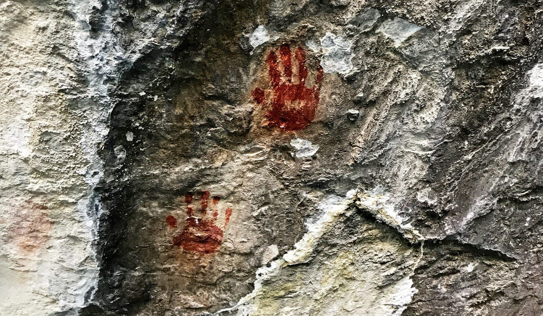
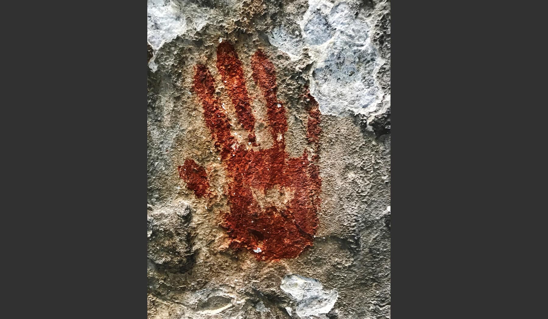
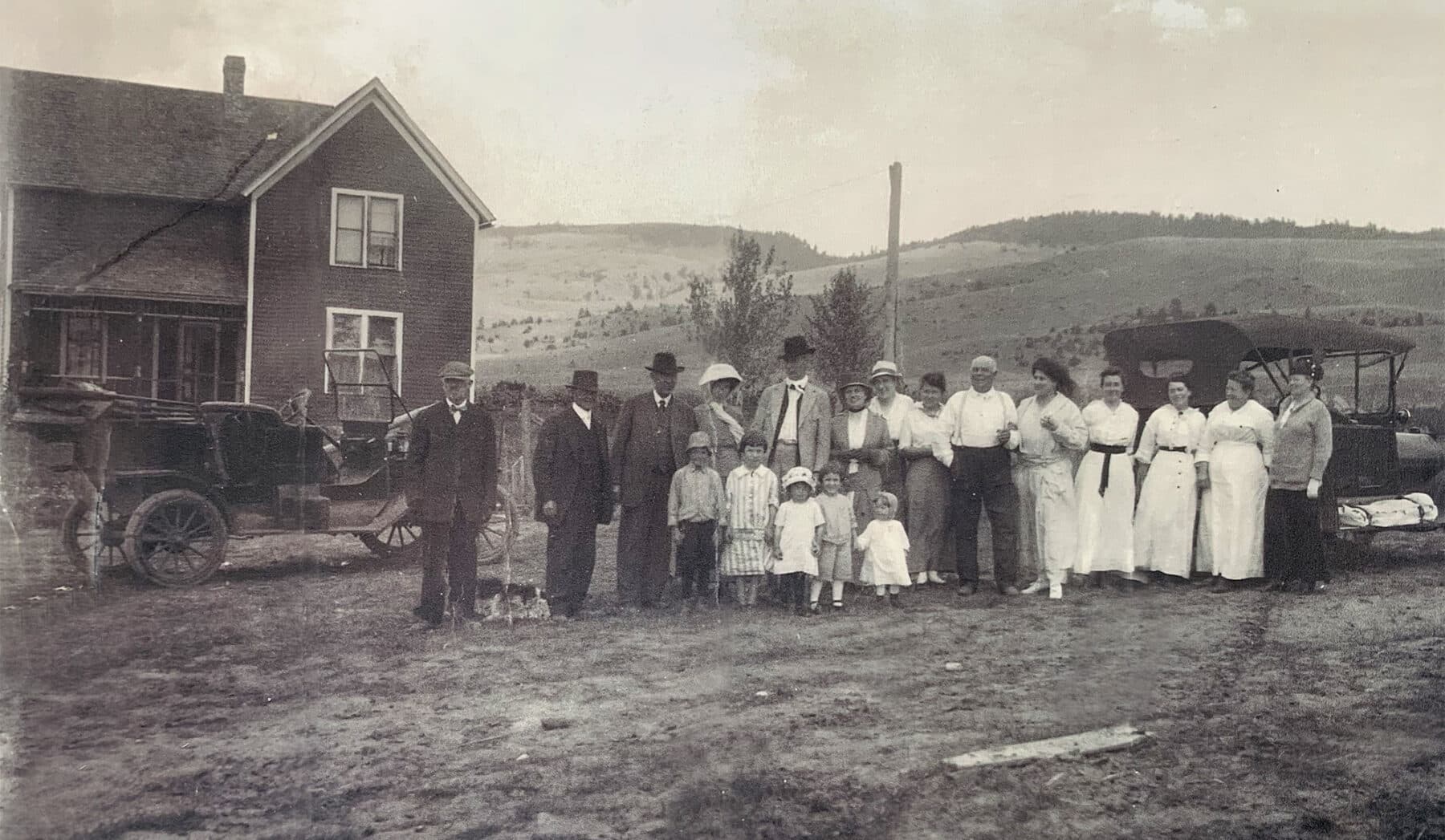
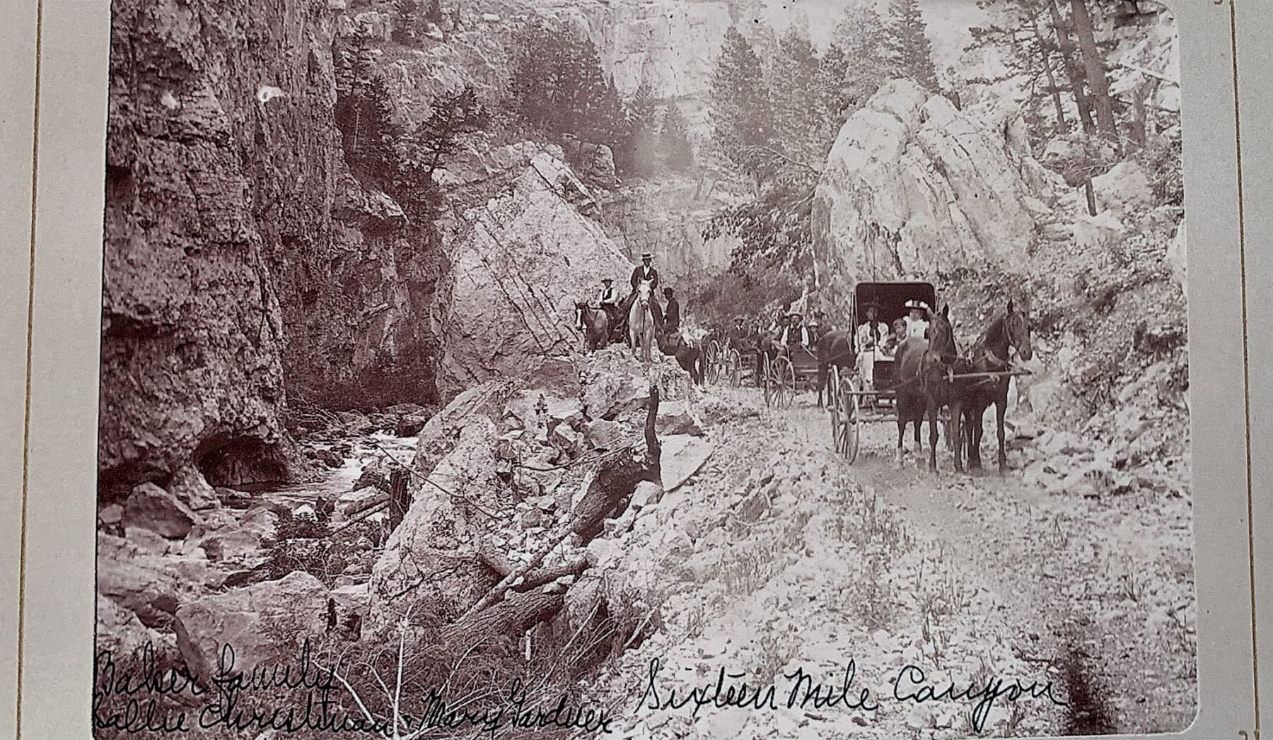
LAND HISTORY

The taxes on the real estate and improvements on the entire CA Ranch for 2020 were approximately $60,000. A breakdown of the individual Unit’s taxes is approximately as follows:
| Francis Unit Hudson Unit Valley Unit Island Unit Logan Unit |
$33,657.68 $4,004.38 $22,000.78 $337.66 $97.94 |
The Sellers will convey with the Ranch 100% of whatever mineral, oil, gas, geothermal, hydro-carbon and gravel rights they actually own, subject to reservations by previous owners. The Sellers make no representation as to the quantity or quality of any mineral or other subsurface rights appurtenant to the Ranch.
The Seller hereby makes known that there may be variations between the deeded property lines and the location of the existing fence boundary lines on Climbing Arrow Ranch. The Seller makes no warranties with regard to the location of the fence lines in relationship to the deeded property lines, nor does the Seller make any warranties or representations with regard to the specific acreage within the fenced property lines.
The Seller is selling Climbing Arrow Ranch in its “as is-where is” condition, which includes the location of the fences as they now exist. Boundaries shown on any accompanying maps are approximate. The maps are not to scale and are for visual aid only. The accuracy of the maps and information portrayed thereon is not guaranteed nor warranted.
Perhaps only once in a decade, the market sees a truly authentic legacy-ranch offering. While many “Baby Boomers” are selling off land holdings that they have acquired and grown weary with during their seven to ten years of ownership, this is a singular opportunity to acquire a land holding of scale, beauty, and historical relevance that has been retained by one family for over sixty-two years. Climbing Arrow Ranch is the most significant and historic ranch offering in the Rocky Mountain West in today’s real estate market.
CA Ranch has a long, storied history of agricultural production as well as legendary elk hunting and world-renowned fly fishing on Sixteenmile Creek and the Madison River. With an eighty-one-year tenure and the Anderson family at the helm for sixty-two of those years, a new owner will acquire this legacy to continue and expand upon.
The combination of large-scale agricultural production with unrivaled big-game hunting and private fishing waters in one of the Rocky Mountains’ most desirable locales makes CA Ranch an attractive option in today’s land-investment market. A reputation commercial Black Angus cattle herd is available for purchase outside of the real estate transaction, along with a good set of ranch equipment and vehicles.
The successor of the Climbing Arrow Ranch will inherit a storied, singular piece of history in Western Montana—with one of the most elite and iconic ranches in the West.
OFFERING PRICE and CONDITIONS OF SALE
Climbing Arrow Ranch as previously described herein, is offered for sale at $136,250,000 cash or terms acceptable solely at the discretion of the Seller. The conditions of the sale are as follows:
-
- All Prospective Buyers must demonstrate to the satisfaction of the Seller’s absolute financial capability to purchase the Ranch prior to scheduling an inspection of the Ranch;
- An earnest money deposit in the amount of 5.00% of the purchase price will be due within five (5) business days upon completion of a fully executed contract, and all earnest money deposits will be held in escrow by Security Title Company in Bozeman;
- The Sellers will provide and pay for a standard owner’s title insurance policy. Any endorsements requested by the Buyer or any lender will be at Buyer’s expense. Title to the real property will be conveyed by a deed;
- All water right claims controlled by the Ranch will be transferred to the Buyer at Closing, and all of the mineral rights which the Sellers actually own will be conveyed to the Buyer at Closing;
- Buyers’ Brokers are welcome and invited to contact listing broker Mike Swan in our Bozeman Office for information regarding Cooperation Policies.
The Sellers reserve the right to effect a tax-deferred exchange for other real property in accordance with provisions in Section 1031 of the Internal Revenue Code. The Buyer will not be required to incur any additional expenses nor to step into the chain of title on any property which the Seller may acquire.
This entire Offering is subject to errors, omissions, prior sale, change, or withdrawal without notice and approval of purchase by the Sellers. Information regarding land classifications, acreages, carrying capacities, crop yields, potential profits, etc., are intended only as general guidelines and have been obtained from sources deemed reliable; however, accuracy is not warranted or guaranteed by the Sellers or Swan Land Company. Prospective Buyers should verify all information to their sole and complete satisfaction.
TERMS OF INSPECTION
A 48-hour notice is requested to make proper arrangements for an inspection of Climbing Arrow Ranch.
Swan Land Company has been authorized by the Seller to act as their Exclusive Real Estate Broker on the sale of Climbing Arrow Ranch. Since 2002, we have focused on the brokerage of significant ranches, farms, and recreational properties throughout the Rocky Mountain West.
This Offering is based on information believed to be correct; however, it is subject to errors, omissions, prior sale, and change or withdrawal without notice. Information contained herein has been provided by the Sellers or obtained from other sources deemed reliable. The Agent does not, however, guarantee accuracy and recommends that any Prospective Buyer conduct an independent investigation.
Photographic collection courtesy of:
Melanie Maganias Nashan
www.nashan.com

KUIU
www.kuiu.com
![]()
Climbing Arrow Ranch

On site at the property
Suggested Properties


Pathfinder Ranches
- 916,076 Total
- $79,500,000

Sheep Creek Canyon Ranch
- 6,348 Deeded
- $47,625,000

RIVER ROAD RANCH
- 163 Deeded
- $13,750,000